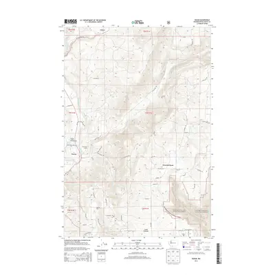
2014 Map of Husum
USGS Topo · Published 2014About this map
The White Salmon River cuts through this Klickitat County landscape, anchoring the settlement of Husum and providing a focal point for local aviation at Spring Creek Ranch Airport and Port Elsner Airport. This 2014 survey documents the interface between managed wilderness and rural homesteads, showing the eastern edge of the Gifford Pinchot National Forest alongside small communities like Gilmer, Mountain Brook, and Laws Corner.
Find a feature on this map
62 named features on this map. Tap any name to fly to it.
Don’t see what you’re looking for? This feature index may not catch every label — zoom into the map to look around manually.
Map Details
Editions of this 2014 Husum Map
This is the sole edition of this map. No revisions or reprints were ever made.
Other maps of this area

1926 · Hood River
USGS Topo · 1:125,000

1929 · Hood River
USGS Topo · 1:125,000

1934 · The Dalles
USGS Topo · 1:125,000

1953 · The Dalles
USGS Topo · 1:250,000

1956 · The Dalles
USGS Topo · 1:250,000

1957 · The Dalles
USGS Topo · 1:250,000

1957 · Willard
USGS Topo · 1:62,500

1957 · White Salmon
USGS Topo · 1:62,500

1957 · Husum
USGS Topo · 1:62,500

1957 · Hood River
USGS Topo · 1:62,500