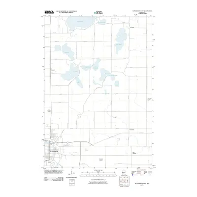
2010 Map of Hutchinson East
USGS Topo · Published 2010About this map
Hutchinson serves as the focal point of this McLeod County landscape, situated where the South Fork Crow River flows through the Hutchinson Dam. The town's local institutions are well-documented, including the Hutchinson Post Office and nearby Oakland Cemetery. North of the settlement, the terrain is defined by a dense concentration of glacial lakes, ranging from the expansive Lake Jennie and Lake Byron to smaller bodies like Echo Lake and Little Bear Lake.
Find a feature on this map
48 named features on this map. Tap any name to fly to it.
Don’t see what you’re looking for? This feature index may not catch every label — zoom into the map to look around manually.
Map Details
Editions of this 2010 Hutchinson East Map
This is the sole edition of this map. No revisions or reprints were ever made.
Other maps of this area

1953 · New Ulm
USGS Topo · 1:250,000

1953 · Saint Cloud
USGS Topo · 1:250,000

1957 · Saint Cloud
USGS Topo · 1:250,000

1957 · New Ulm
USGS Topo · 1:250,000

1958 · New Ulm
USGS Topo · 1:250,000

1958 · Saint Cloud
USGS Topo · 1:250,000

1958 · Glencoe
USGS Topo · 1:62,500

1958 · Dassel
USGS Topo · 1:62,500

1958 · Cokato
USGS Topo · 1:62,500

1958 · Hutchinson
USGS Topo · 1:62,500