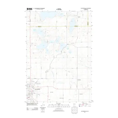
2013 Map of Hutchinson East
USGS Topo · Published 2013About this map
Hutchinson serves as the primary hub on this central Minnesota landscape, where the S Fork Crow River flows through the urban center near Otter Lake. The surrounding terrain transitions from the developed streets of the city to a mosaic of glacial lakes and managed waterways, including Lake Jennie and Lake Hook. This geography is defined by a heavy reliance on drainage infrastructure, evidenced by the presence of County Ditch Number Sixteen A and County Ditch Number Eight, which manage the low-lying agricultural lands.
Find a feature on this map
92 named features on this map. Tap any name to fly to it.
Don’t see what you’re looking for? This feature index may not catch every label — zoom into the map to look around manually.
Map Details
Editions of this 2013 Hutchinson East Map
This is the sole edition of this map. No revisions or reprints were ever made.
Other maps of this area

1953 · New Ulm
USGS Topo · 1:250,000

1953 · Saint Cloud
USGS Topo · 1:250,000

1957 · Saint Cloud
USGS Topo · 1:250,000

1957 · New Ulm
USGS Topo · 1:250,000

1958 · New Ulm
USGS Topo · 1:250,000

1958 · Saint Cloud
USGS Topo · 1:250,000

1958 · Glencoe
USGS Topo · 1:62,500

1958 · Dassel
USGS Topo · 1:62,500

1958 · Cokato
USGS Topo · 1:62,500

1958 · Hutchinson
USGS Topo · 1:62,500