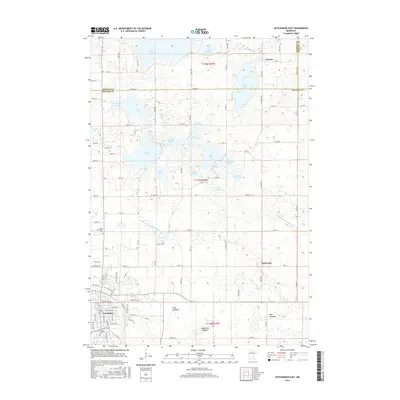
2016 Map of Hutchinson East
USGS Topo · Published 2016About this map
Hutchinson anchors the southwest corner of this region, where the South Fork Crow River flows through Otter Lake. The landscape is a complex mosaic of glacial lakes and agricultural drainages, including the County Ditch Number Sixteen A and County Ditch Number Eight. Notable for its many named water bodies, the area features large basins like Lake Jennie and Bear Lake, alongside several areas identified as dry or receding, such as the Mud Lakebed and Benjamin Lakebed. The rural road network connects small, longstanding communities like Lamson in the northeast and Komensky to the east. Local family history and genealogy can be traced through sites like Saint Anastasia Cem and Oakland Cem, which serve the local population near the county line between Meeker and McLeod.
Find a feature on this map
105 named features on this map. Tap any name to fly to it.
Don’t see what you’re looking for? This feature index may not catch every label — zoom into the map to look around manually.
Map Details
Editions of this 2016 Hutchinson East Map
This is the sole edition of this map. No revisions or reprints were ever made.
Other maps of this area

1953 · New Ulm
USGS Topo · 1:250,000

1953 · Saint Cloud
USGS Topo · 1:250,000

1957 · Saint Cloud
USGS Topo · 1:250,000

1957 · New Ulm
USGS Topo · 1:250,000

1958 · New Ulm
USGS Topo · 1:250,000

1958 · Saint Cloud
USGS Topo · 1:250,000

1958 · Glencoe
USGS Topo · 1:62,500

1958 · Dassel
USGS Topo · 1:62,500

1958 · Cokato
USGS Topo · 1:62,500

1958 · Hutchinson
USGS Topo · 1:62,500