
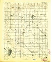
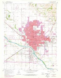
1893 Map of Hutchinson
USGS Topo · Published 1910About this map
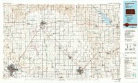
The Arkansas River and Little Arkansas River define the fertile prairie landscape of central Kansas in the late nineteenth century. Surveyed in 1889, the map reveals a region rapidly developing around a dense network of competing rail lines. Major hubs like Hutchinson and Mc Pherson are depicted with their urban grids, while smaller track-side settlements such as Mound Ridge, Galva, and Burrton dot the crossings of the Atchison Topeka and Santa Fe Railroad and the Missouri Pacific Railway. A distinctive series of prairie depressions and water bodies, including Lake Luman, Lake Farland, and the Basin, highlight the natural hydrology of the plains before extensive modern irrigation changed the face of the land. The meticulous section-line grid underlying the entire area illustrates the systematic settlement pattern of the Kansas townships during this era of agricultural expansion.
Find a feature on this map
67 named features on this map. Tap any name to fly to it.
Don’t see what you’re looking for? This feature index may not catch every label — zoom into the map to look around manually.
Map Details
Editions of this 1893 Hutchinson Map
5 editions found

Historical Maps of Hutchinson Through Time
11 maps found

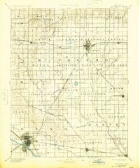
1891 Hutchinson
Reno County, KS
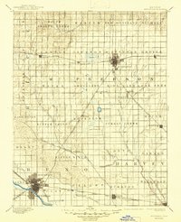
1893 Hutchinson
Reno County, KS
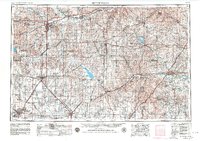
1955 Hutchinson
Reno County, KS

1959 Hutchinson
Reno County, KS
1960 Hutchinson
Reno County, KS
1985 Hutchinson
Reno County, KS
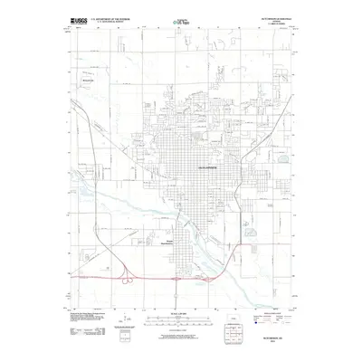
2010 Hutchinson
Reno County, KS
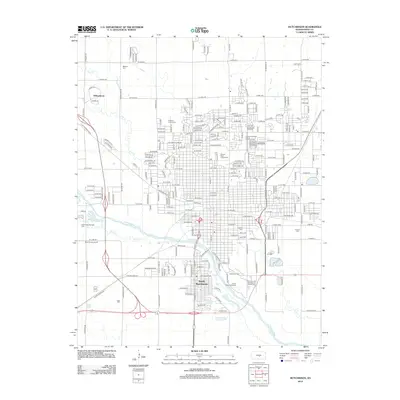
2012 Hutchinson
Reno County, KS
2015 Hutchinson
Reno County, KS
2018 Hutchinson
Reno County, KS
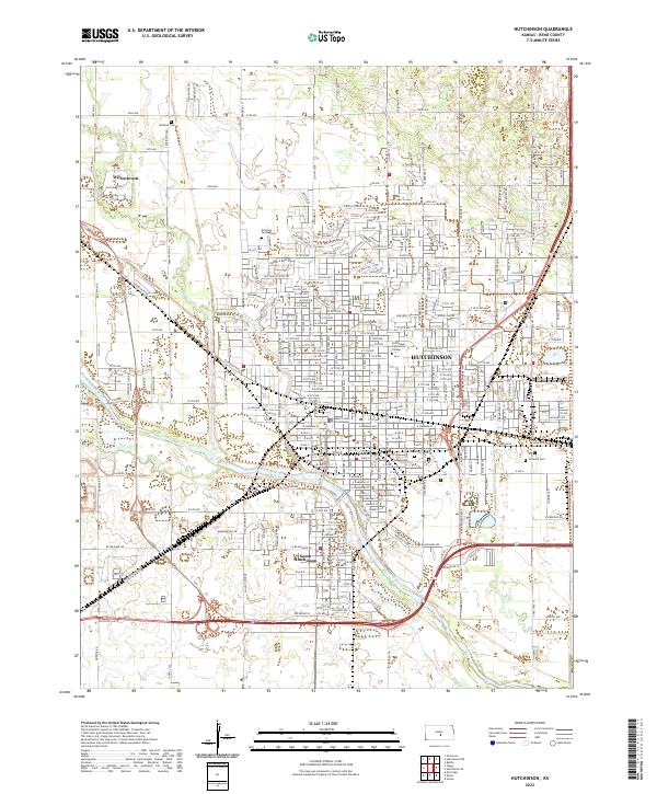
2022 Hutchinson
Reno County, KS