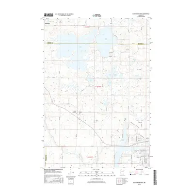
2016 Map of Hutchinson West
USGS Topo · Published 2016About this map
Glacial lakes and agrarian landscapes define this portion of the Meeker and McLeod County line. The northwestern edge of Hutchinson anchors the survey, showing the city's residential expansion near Campbell Lake and the S Fork Crow River. The landscape is a complex network of wetlands and drainage systems, including the substantial County Ditch Number Three and Popp Slough, which manage the water levels of numerous water bodies like Cedar Lake, Belle Lake, and Clear Lake.
Find a feature on this map
68 named features on this map. Tap any name to fly to it.
Don’t see what you’re looking for? This feature index may not catch every label — zoom into the map to look around manually.
Map Details
Editions of this 2016 Hutchinson West Map
This is the sole edition of this map. No revisions or reprints were ever made.
Other maps of this area

1953 · New Ulm
USGS Topo · 1:250,000

1953 · Saint Cloud
USGS Topo · 1:250,000

1957 · Saint Cloud
USGS Topo · 1:250,000

1957 · New Ulm
USGS Topo · 1:250,000

1958 · New Ulm
USGS Topo · 1:250,000

1958 · Saint Cloud
USGS Topo · 1:250,000

1958 · Dassel
USGS Topo · 1:62,500

1958 · Hutchinson
USGS Topo · 1:62,500

1967 · New Ulm
USGS Topo · 1:250,000

1967 · Litchfield South
USGS Topo · 1:24,000