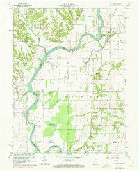
1964 Map of Hutton
USGS Topo · Published 1973About this map
The Wabash River meanders across the border of Indiana and Illinois, shaping a landscape of fertile bottoms and shifting bayous during the mid-twentieth century. The community of Hutton and the nearby Vigo settlement anchor the Indiana side, while Darwin sits across the water in Illinois. A network of backwaters, including Jones Bayou, Hayworth Bayou, and Greenfield Bayou, illustrates the complex hydrology of the river’s floodplain. Significant for genealogists, the map reveals several burial sites such as Darwin Cem, Shattuck Cem, and Watson Cem, along with rural congregations like Center Hill Ch and Cooper Chapel. The presence of the Darwin Ferry highlights the historic river crossings that once connected these rural townships. Industrial activity is noted through various Oil Wells and gravel pits scattered through Prairie Creek and Prairieton townships, showing the extraction-based economy of the era.
Find a feature on this map
65 named features on this map. Tap any name to fly to it.
Don’t see what you’re looking for? This feature index may not catch every label — zoom into the map to look around manually.
Map Details
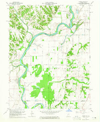
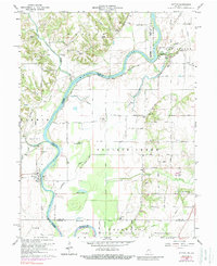
Editions of this 1964 Hutton Map
3 editions found
Other maps of this area

1932 · Marshall
USGS Topo · 1:62,500

1937 · Marshall
USGS Topo · 1:62,500

1940 · Pimento
USGS Topo · 1:24,000

1941 · Terre Haute
USGS Topo · 1:24,000

1942 · Fairbanks
USGS Topo · 1:24,000

1942 · Shelburn
USGS Topo · 1:24,000

1942 · Hutton
USGS Topo · 1:24,000

1942 · Dennison
USGS Topo · 1:24,000

1948 · Terre Haute
USGS Topo · 1:24,000

1952 · Fairbanks
USGS Topo · 1:24,000