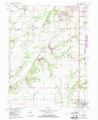
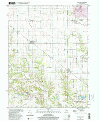
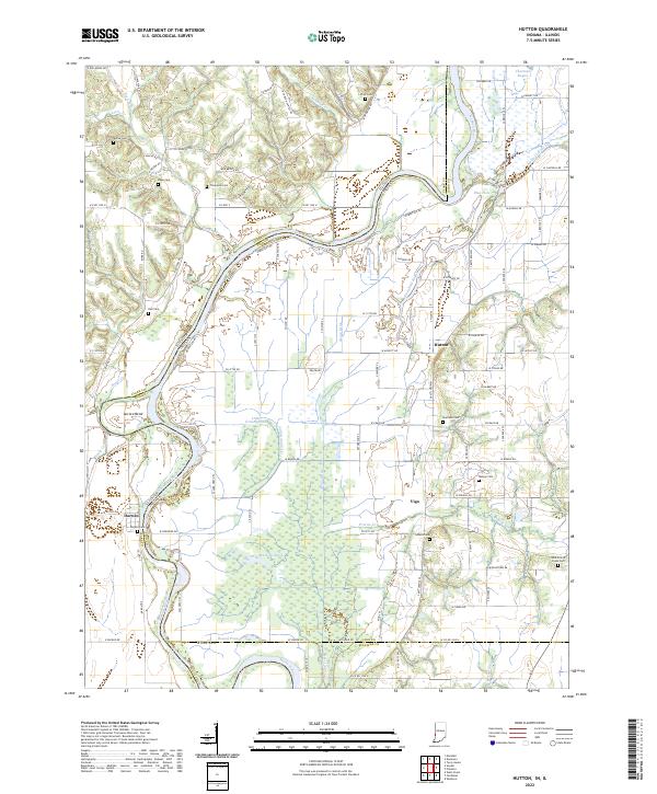
1964 Map of Hutton
USGS Topo · Published 1989About this map
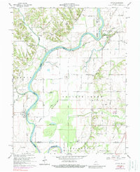
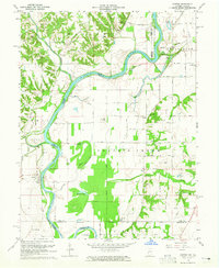
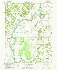
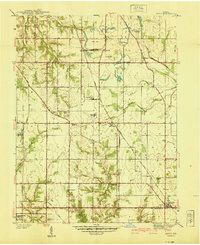
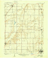
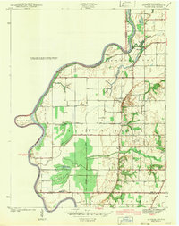
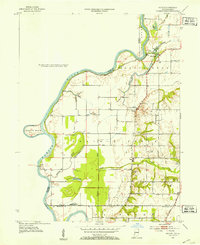
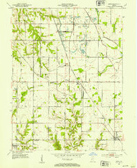
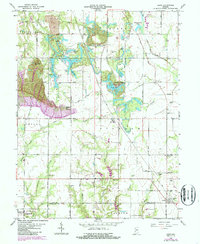
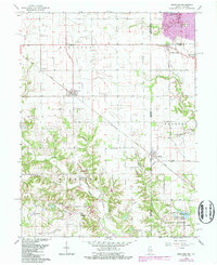
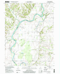
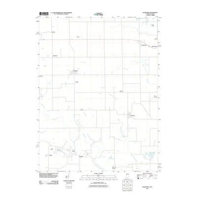
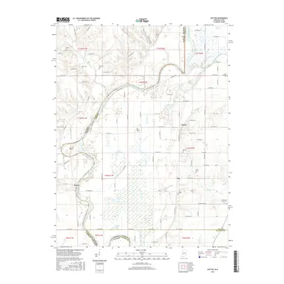
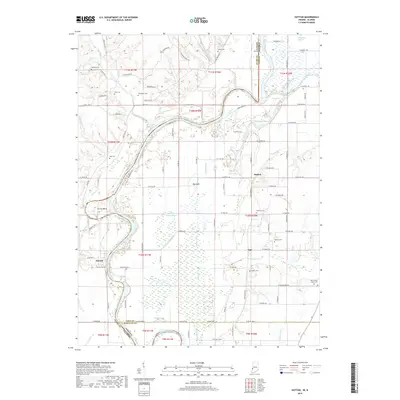
The Wabash River meanders through this borderland where Indiana and Illinois meet, defining a landscape of complex waterways and alluvial bottomlands. Significant features like the Darwin Ferry at Darwin and the Greenfield Bayou illustrate the historic dependence on river-based transport and the natural drainage of the Prairieton region. The settlement pattern is marked by numerous family-named landmarks and rural institutions, including Cooper Chapel and Center Hill Ch, alongside a high density of small burial grounds such as Thompson Cem and Shattuck Cem. These sites, tucked between named features like Big Knoll and Little Grassy Pond, provide a detailed record of the agrarian communities established along the river’s edge. Evidence of local industry appears in the scattered oil wells and numerous gravel pits found near Hutton and Vigo.
Find a feature on this map
79 named features on this map. Tap any name to fly to it.
Don’t see what you’re looking for? This feature index may not catch every label — zoom into the map to look around manually.
Map Details
Editions of this 1964 Hutton Map
3 editions found
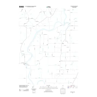
Historical Maps of Darwin Through Time
31 maps found
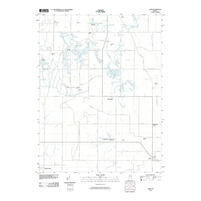
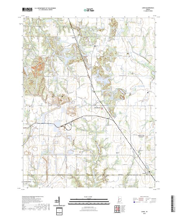
1940 Lewis
Vigo County, IN
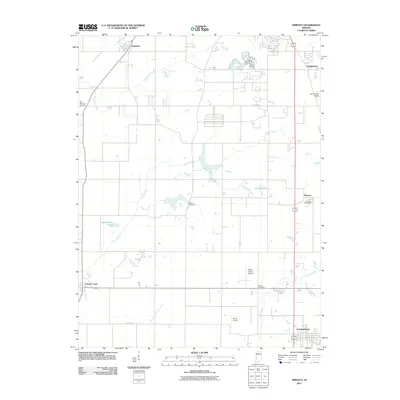
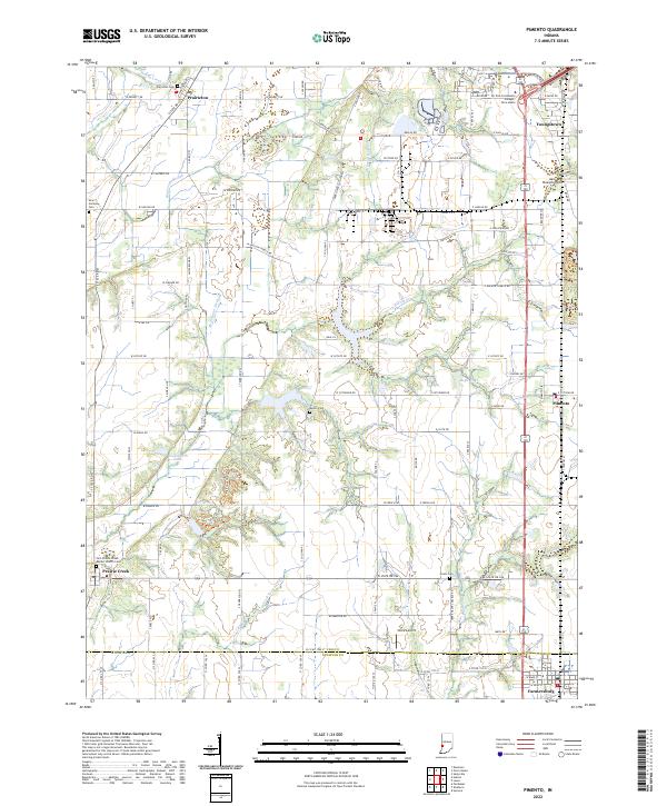
1940 Pimento
Vigo County, IN
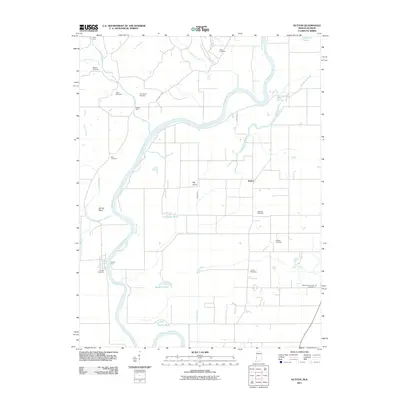
1942 Hutton
Vigo County, IN
1952 Hutton
Vigo County, IN
1952 Lewis
Vigo County, IN
1958 Pimento
Vigo County, IN
1963 Lewis
Vigo County, IN
1964 Hutton
Vigo County, IN
1966 Sandford
Vigo County, IN
1998 Hutton
Vigo County, IN
1998 Sandford
Vigo County, IN
2010 Lewis
Vigo County, IN
2011 Hutton
Vigo County, IN
2011 Pimento
Vigo County, IN
2011 Sandford
Vigo County, IN
2013 Hutton
Vigo County, IN
2013 Lewis
Vigo County, IN
2013 Pimento
Vigo County, IN
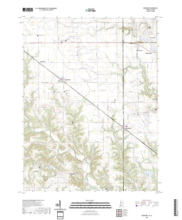
2013 Sandford
Vigo County, IN
2016 Hutton
Vigo County, IN
2016 Lewis
Vigo County, IN
2016 Pimento
Vigo County, IN
2016 Sandford
Vigo County, IN
2019 Hutton
Vigo County, IN
2019 Lewis
Vigo County, IN
2019 Pimento
Vigo County, IN
2019 Sandford
Vigo County, IN
2022 Hutton
Vigo County, IN
2022 Lewis
Vigo County, IN
2022 Pimento
Vigo County, IN
2022 Sandford
Vigo County, IN