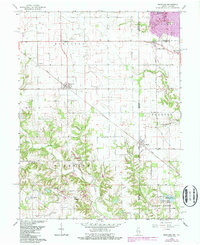
1966 Map of Sandford
USGS Topo · Published 1987About this map
Sugar Creek and its winding tributaries, including Indian Creek and McCalls Branch, define the rolling borderlands between Illinois and Indiana. The landscape is a complex mix of agricultural land and industrial utility, characterized by extensive pipeline networks and several Gas Storage Wells in the Elbridge area. This 1966 survey, updated with late-century revisions, shows a region transitioning from its mining roots, evidenced by the Shirkie Mine and its namesake pond, toward conservation at the Green Valley State Fishing Area. Small settlements like Sandford, Vermilion, and Libertyville anchor the local road grid, while the Conrail line provides a major transportation artery through the center of the sheet. Numerous family and community landmarks, such as Blackburn Cem and Little Grove Ch, provide vital data points for genealogists tracking rural residents of Stratton and Fayette townships.
Find a feature on this map
51 named features on this map. Tap any name to fly to it.
Don’t see what you’re looking for? This feature index may not catch every label — zoom into the map to look around manually.
Map Details
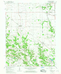
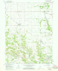
Editions of this 1966 Sandford Map
3 editions found
Other maps of this area

1932 · Marshall
USGS Topo · 1:62,500

1937 · Marshall
USGS Topo · 1:62,500

1941 · Terre Haute
USGS Topo · 1:24,000

1942 · Dennison
USGS Topo · 1:24,000

1947 · Paris
USGS Topo · 1:62,500

1948 · Terre Haute
USGS Topo · 1:24,000

1949 · Paris
USGS Topo · 1:62,500

1950 · New Goshen
USGS Topo · 1:24,000

1950 · Sandford
USGS Topo · 1:24,000

1951 · Clinton
USGS Topo · 1:24,000