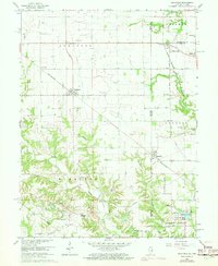
1966 Map of Sandford
USGS Topo · Published 1973About this map
Sandford and Elbridge sit at the center of this 1966 topographic survey, which captures the rural borderlands between Edgar County, Illinois, and Vigo County, Indiana. The landscape is defined by the winding course of Sugar Creek and Little Sugar Creek, which carve through the agricultural fields of Stratton and Fayette townships. A distinct industrial signature is visible through the concentration of Gas Storage Wells and a Pumping Station near Elbridge, alongside the coal-related footprints of the Shirkie Mine and Green Valley Mine in the northeast. Transportation networks of the mid-20th century are well-preserved here, featuring the Penn Central and Chicago Milwaukee St Paul and Pacific railroads. Genealogists will find a high density of burial sites and rural congregations, including Gymon Cem, Wilson Cem, and the Little Grove Ch, documenting the settled families of this prairie region.
Find a feature on this map
57 named features on this map. Tap any name to fly to it.
Don’t see what you’re looking for? This feature index may not catch every label — zoom into the map to look around manually.
Map Details
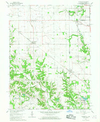
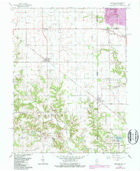
Editions of this 1966 Sandford Map
3 editions found
Other maps of this area

1932 · Marshall
USGS Topo · 1:62,500

1937 · Marshall
USGS Topo · 1:62,500

1941 · Terre Haute
USGS Topo · 1:24,000

1942 · Dennison
USGS Topo · 1:24,000

1947 · Paris
USGS Topo · 1:62,500

1948 · Terre Haute
USGS Topo · 1:24,000

1949 · Paris
USGS Topo · 1:62,500

1950 · New Goshen
USGS Topo · 1:24,000

1950 · Sandford
USGS Topo · 1:24,000

1951 · Clinton
USGS Topo · 1:24,000