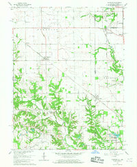
1966 Map of Sandford
USGS Topo · Published 1967About this map
The Illinois Indiana state line bisects this landscape, where the agricultural plains of Stratton and Clinton townships meet the dissected drainages of Sugar Creek. In the mid-1960s, the region supported a mix of grain farming and resource extraction, evidenced by the Shirkie Mine and Green Valley Mine near the southeastern corner. Transportation networks define the settlement pattern, with the New York Central railroad passing through Vermilion and Sandford, while the Chicago Milwaukee ST Paul And Pacific RR serves the eastern Indiana side near Libertyville.
Find a feature on this map
54 named features on this map. Tap any name to fly to it.
Don’t see what you’re looking for? This feature index may not catch every label — zoom into the map to look around manually.
Map Details
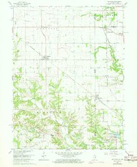
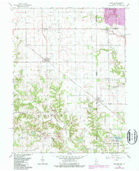
Editions of this 1966 Sandford Map
3 editions found
Other maps of this area

1932 · Marshall
USGS Topo · 1:62,500

1937 · Marshall
USGS Topo · 1:62,500

1941 · Terre Haute
USGS Topo · 1:24,000

1942 · Dennison
USGS Topo · 1:24,000

1947 · Paris
USGS Topo · 1:62,500

1948 · Terre Haute
USGS Topo · 1:24,000

1949 · Paris
USGS Topo · 1:62,500

1950 · New Goshen
USGS Topo · 1:24,000

1950 · Sandford
USGS Topo · 1:24,000

1951 · Clinton
USGS Topo · 1:24,000