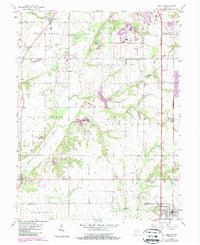
1958 Map of Pimento
USGS Topo · Published 1987About this map
Pimento and Farmersburg anchor this survey of southern Vigo County, where the agricultural landscape meets the developing infrastructure of the mid-20th century. The rural character of the region is punctuated by local centers of faith and memory, such as Farmers Chapel, Oregon Ch, and the Union Cem. A series of small settlements and clusters, including Youngstown and Prairieton, are linked by a network of roads and the Csxt rail line. The terrain is defined by the winding course of Prairie Creek and Honey Creek, while specialized features like a Landing Strip and Sewage Disposal facility near Youngstown indicate the modernization of the area by the 1980s. Local landmarks such as the Hayworth Trailer Park and various family-named burial grounds like Kester Cem provide specific points of interest for those tracing the social geography of the Wabash Valley region.
Find a feature on this map
34 named features on this map. Tap any name to fly to it.
Don’t see what you’re looking for? This feature index may not catch every label — zoom into the map to look around manually.
Map Details
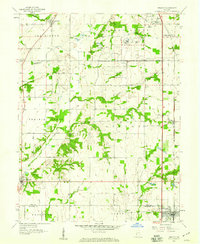
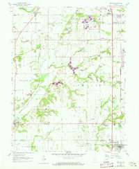
Editions of this 1958 Pimento Map
3 editions found
Other maps of this area

1932 · Marshall
USGS Topo · 1:62,500

1937 · Marshall
USGS Topo · 1:62,500

1940 · Lewis
USGS Topo · 1:24,000

1940 · Pimento
USGS Topo · 1:24,000

1941 · Seelyville
USGS Topo · 1:24,000

1941 · Terre Haute
USGS Topo · 1:24,000

1942 · Fairbanks
USGS Topo · 1:24,000

1942 · Shelburn
USGS Topo · 1:24,000

1942 · Hutton
USGS Topo · 1:24,000

1942 · Dennison
USGS Topo · 1:24,000