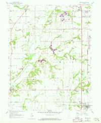
1958 Map of Pimento
USGS Topo · Published 1973About this map
The Terre Haute Federal Penitentiary and its associated Prison Farm dominate the central landscape of this Indiana survey, which was updated in the early 1970s via aerial photography. The map reveals a transition between the agricultural township of Prairieton in the northwest and the more structured settlements along the eastern rail corridor. Small communities such as Pimento and Youngstown are positioned along the Louisville and Nashville railroad line, while the southern border extends into Sullivan County to include the northern portion of Farmersburg.
Find a feature on this map
35 named features on this map. Tap any name to fly to it.
Don’t see what you’re looking for? This feature index may not catch every label — zoom into the map to look around manually.
Map Details
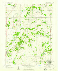
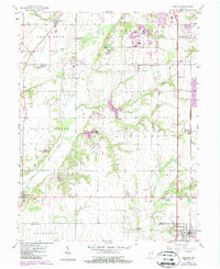
Editions of this 1958 Pimento Map
3 editions found
Other maps of this area

1932 · Marshall
USGS Topo · 1:62,500

1937 · Marshall
USGS Topo · 1:62,500

1940 · Lewis
USGS Topo · 1:24,000

1940 · Pimento
USGS Topo · 1:24,000

1941 · Seelyville
USGS Topo · 1:24,000

1941 · Terre Haute
USGS Topo · 1:24,000

1942 · Fairbanks
USGS Topo · 1:24,000

1942 · Shelburn
USGS Topo · 1:24,000

1942 · Hutton
USGS Topo · 1:24,000

1942 · Dennison
USGS Topo · 1:24,000