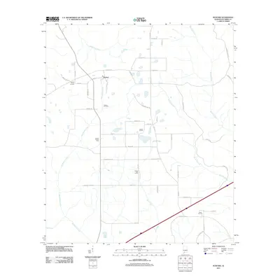
2011 Map of Huxford
USGS Topo · Published 2011About this map
Huxford serves as the central hub of this Escambia County landscape, reflecting a community rooted in timber, agriculture, and energy extraction. The local geography is defined by a dense network of watercourses including Chitterling Creek, Wet Weather Creek, and Robinson Creek, which carve through the terrain south of the Old Stage Rd. Evidence of the area's industrial footprint is visible at the Huxford Oil Field and the Atmore Inert Landfill, while the Huxford Lookout Tower stands as a testament to forestry management in the region.
Find a feature on this map
49 named features on this map. Tap any name to fly to it.
Don’t see what you’re looking for? This feature index may not catch every label — zoom into the map to look around manually.
Map Details
Editions of this 2011 Huxford Map
This is the sole edition of this map. No revisions or reprints were ever made.
Other maps of this area

1942 · Perdido
USGS Topo · 1:62,500

1944 · Perdido
USGS Topo · 1:62,500

1953 · Andalusia
USGS Topo · 1:250,000

1957 · Andalusia
USGS Topo · 1:250,000

1960 · Atmore
USGS Topo · 1:24,000

1960 · Huxford
USGS Topo · 1:24,000

1960 · Barnett Crossroads
USGS Topo · 1:24,000
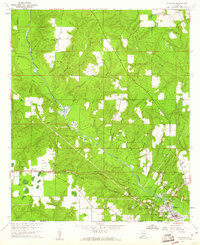
1960 · Flomaton
USGS Topo · 1:24,000

1972 · Frisco City SE
USGS Topo · 1:24,000

1972 · Uriah East
USGS Topo · 1:24,000