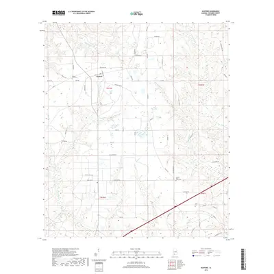
2018 Map of Huxford
USGS Topo · Published 2018About this map
Huxford serves as a central hub for this rural stretch of Escambia County, where the landscape is defined by a network of creeks and timbered tracts. The settlement's layout is grounded by the Huxford Church and the adjacent Huxford Church Cem, with residential life extending along Front ST and N Wilson Ave. To the south, the presence of Fountain Prison DR and Hauss Nursery RD indicates the specialized land use that characterizes the local economy. The terrain is deeply carved by drainage systems, including Chitterling Cr and Big Spring Cr, which create complex wetland pockets throughout the area. Further south, the rural community at Pleasant Grove Church and the isolated Miller Cem offer important points of interest for those tracing family roots in this corner of Alabama.
Find a feature on this map
57 named features on this map. Tap any name to fly to it.
Don’t see what you’re looking for? This feature index may not catch every label — zoom into the map to look around manually.
Map Details
Editions of this 2018 Huxford Map
This is the sole edition of this map. No revisions or reprints were ever made.
Other maps of this area

1942 · Perdido
USGS Topo · 1:62,500

1944 · Perdido
USGS Topo · 1:62,500

1953 · Andalusia
USGS Topo · 1:250,000

1957 · Andalusia
USGS Topo · 1:250,000

1960 · Atmore
USGS Topo · 1:24,000

1960 · Huxford
USGS Topo · 1:24,000

1960 · Barnett Crossroads
USGS Topo · 1:24,000
1960 · Flomaton
USGS Topo · 1:24,000

1972 · Frisco City SE
USGS Topo · 1:24,000

1972 · Uriah East
USGS Topo · 1:24,000