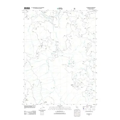
2012 Map of Hyampom
USGS Topo · Published 2012About this map
The S Fork Trinity River serves as the central artery for this part of Trinity County, where the small community of Hyampom serves as a remote hub near the confluence with Hayfork Cr. This 2012 survey illustrates a landscape dominated by timber and ranching history, evidenced by family-named sites like Marcels Ranch, Grel Ranch, and French Ranch. The presence of the Hyampom Airport and several forest routes indicates the vital role of specialized transportation in this mountainous terrain.
Find a feature on this map
51 named features on this map. Tap any name to fly to it.
Don’t see what you’re looking for? This feature index may not catch every label — zoom into the map to look around manually.
Map Details
Editions of this 2012 Hyampom Map
This is the sole edition of this map. No revisions or reprints were ever made.
Other maps of this area
1909 · Big Bar
USGS Topo · 1:96,000
1914 · Pilot Creek
USGS Topo · 1:62,500
1915 · Big Bar and Vicinity
USGS Topo · 1:250,000
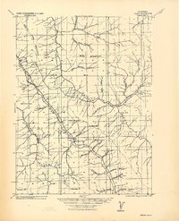
1918 · Anada
USGS Topo · 1:62,500
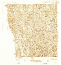
1931 · Hoaglin
USGS Topo · 1:96,000
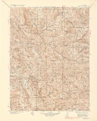
1935 · Hoaglin
USGS Topo · 1:125,000
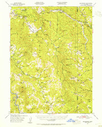
1949 · Blocksburg
USGS Topo · 1:62,500
1951 · Blocksburg
USGS Topo · 1:62,500
1951 · Pilot Creek
USGS Topo · 1:62,500
1951 · Hyampom
USGS Topo · 1:62,500