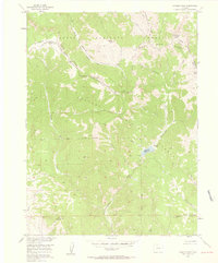
1956 Map of Hyannis Peak
USGS Topo · Published 1958About this map
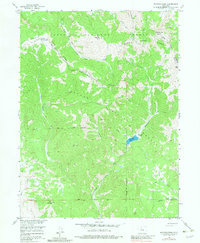
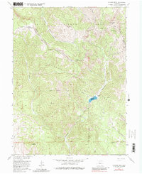
Hyannis Peak stands as a central high point in this mid-century survey, which documents the convergence of the Routt National Forest and Arapaho National Forest along the Continental Divide. The landscape is defined by the Rabbit Ears Range and a complex drainage system, including the upper reaches of Troublesome Creek and Arapaho Creek. This 1950s record shows the area as a working mountain landscape rather than a wilderness, marked by the Hendricks Ranch near Matheson Reservoir and several Mines located near Coal Mountain in the southwest corner. The prevalence of named trails like the Arapahoe Trail and Siebert Creek Trail suggests a network of early forest access routes and livestock paths used before modern recreation dominated the high country.
Find a feature on this map
30 named features on this map. Tap any name to fly to it.
Don’t see what you’re looking for? This feature index may not catch every label — zoom into the map to look around manually.
Map Details
Editions of this 1956 Hyannis Peak Map
7 editions found
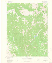
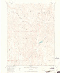
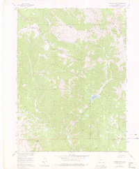
Other maps of this area

1954 · Craig
USGS Topo · 1:250,000

1956 · Kremmling
USGS Topo · 1:62,500

1956 · Spicer Peak
USGS Topo · 1:24,000

1956 · Parkview Mountain
USGS Topo · 1:24,000

1956 · Buffalo Peak
USGS Topo · 1:24,000

1956 · Whiteley Peak
USGS Topo · 1:24,000

1956 · Hyannis Peak
USGS Topo · 1:24,000

1956 · Rand
USGS Topo · 1:24,000

1956 · Hyannis Peak
USGS Topo · 1:62,500

1956 · Rand
USGS Topo · 1:62,500