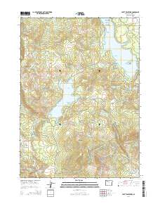
2014 Map of Hyatt Reservoir
USGS Topo · Published 2014About this map
Hyatt Reservoir and its companion, Little Hyatt Reservoir, anchor this high-elevation landscape within the Cascade Range of Jackson County. The area is defined by a sophisticated water management network, including the Howard Prairie Canal and Keene Cr Reservoir, which navigate the complex terrain of Chinquapin Mtn and Table Mtn. These engineering features reflect the regional commitment to irrigation and water storage at the dawn of the 21st century.
Find a feature on this map
71 named features on this map. Tap any name to fly to it.
Don’t see what you’re looking for? This feature index may not catch every label — zoom into the map to look around manually.
Map Details
Editions of this 2014 Hyatt Reservoir Map
This is the sole edition of this map. No revisions or reprints were ever made.
Other maps of this area

1891 · Ashland
USGS Topo · 1:250,000

1893 · Ashland
USGS Topo · 1:250,000

1897 · Ashland
USGS Topo · 1:250,000

1938 · Medford
USGS Topo · 1:125,000

1954 · Lakecreek
USGS Topo · 1:62,500

1954 · Ashland
USGS Topo · 1:62,500

1955 · Hyatt Reservoir
USGS Topo · 1:62,500

1955 · Mt. Mc Loughlin
USGS Topo · 1:62,500

1955 · Medford
USGS Topo · 1:250,000

1957 · Medford
USGS Topo · 1:250,000