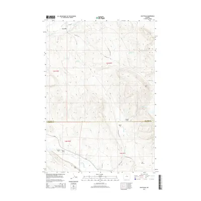
2015 Map of Hyattville
USGS Topo · Published 2015About this map
Hyattville sits at the northern edge of this high-desert landscape where Paint Rock Cr and Medicine Lodge Cr meet. This 2015 study traces the intricate network of ranch and logging roads, including the Ten Sleep-Hyattville Rd and Hyattville Logging Road 117, which provide access to the surrounding uplands. Water management is a primary feature of the local geography, visible through landmarks like South Paint Rock Reservoir and Doyle Reservoir.
Find a feature on this map
31 named features on this map. Tap any name to fly to it.
Don’t see what you’re looking for? This feature index may not catch every label — zoom into the map to look around manually.
Map Details
Editions of this 2015 Hyattville Map
This is the sole edition of this map. No revisions or reprints were ever made.
Other maps of this area

1899 · Cloud peak
USGS Topo · 1:125,000

1901 · Cloud Peak
USGS Topo · 1:125,000

1955 · Sheridan
USGS Topo · 1:250,000

1958 · Sheridan
USGS Topo · 1:250,000

1960 · Flitner Reservoir
USGS Topo · 1:24,000

1960 · Hyatt Ranch
USGS Topo · 1:24,000

1962 · Sheridan
USGS Topo · 1:250,000
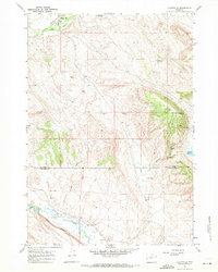
1967 · Hyattville
USGS Topo · 1:24,000
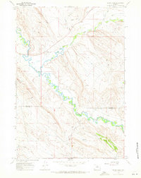
1967 · Weintz Draw
USGS Topo · 1:24,000
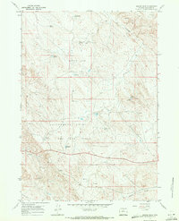
1967 · Broom Draw
USGS Topo · 1:24,000