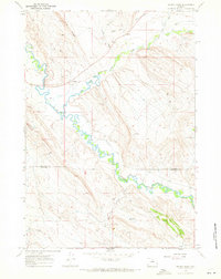
1967 Map of Weintz Draw
USGS Topo · Published 1971About this map
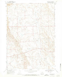
The Nowood River meanders through the heart of this landscape, its path shadowed by the Ninetysx Canal as it flows along the border of Big Horn County and Washakie County. This 1967 field-checked study illustrates a mid-century period of resource extraction and ranching infrastructure, most notably evidenced by the Bonanza Oil Field and numerous scattered Oil Wells and Drill Holes. The intersection of water management and transportation is clear, with the Anita Ditch and Paint Rock Creek supporting the local economy while the Hyattville Airport and several Jeep Trails provide access to the high ground of Blue Ridge. Small-scale irrigation and storage are represented by the Brewster Reservoir and H G Reservoir, highlighting how early Wyoming settlers and industries harnessed intermittent drainage like Weintz Draw.
Find a feature on this map
21 named features on this map. Tap any name to fly to it.
Don’t see what you’re looking for? This feature index may not catch every label — zoom into the map to look around manually.
Map Details
Editions of this 1967 Weintz Draw Map
2 editions found
Other maps of this area

1955 · Sheridan
USGS Topo · 1:250,000

1958 · Sheridan
USGS Topo · 1:250,000

1960 · Flitner Reservoir
USGS Topo · 1:24,000

1960 · Hyatt Ranch
USGS Topo · 1:24,000

1960 · Manderson SE
USGS Topo · 1:24,000

1962 · Sheridan
USGS Topo · 1:250,000
1967 · Hyattville
USGS Topo · 1:24,000
1967 · Broom Draw
USGS Topo · 1:24,000
1967 · Worland SE
USGS Topo · 1:24,000
1967 · Wild Horse Hill
USGS Topo · 1:24,000