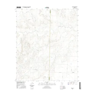
2016 Map of Hyman
USGS Topo · Published 2016About this map
The small settlement of Hyman anchors this West Texas landscape along the Howard and Mitchell County line. In a region where water management is essential for ranching and agriculture, the terrain is marked by numerous named reservoirs including Hayrick Tank, Magnolia Tank, and Bull Cr Tank. These artificial catchments supplement natural drainage systems such as Beals Creek and Bull Creek, which thread through the subtle elevation changes of the high plains.
Find a feature on this map
25 named features on this map. Tap any name to fly to it.
Don’t see what you’re looking for? This feature index may not catch every label — zoom into the map to look around manually.
Map Details
Editions of this 2016 Hyman Map
This is the sole edition of this map. No revisions or reprints were ever made.
Other maps of this area

1941 · Big Spring South
USGS Topo · 1:62,500

1942 · Big Spring South
USGS Topo · 1:62,500

1942 · Big Spring North
USGS Topo · 1:62,500

1951 · Iatan
USGS Topo · 1:24,000

1952 · Iatan
USGS Topo · 1:24,000

1952 · Westbrook
USGS Topo · 1:24,000

1954 · Big Spring
USGS Topo · 1:250,000

1958 · Big Spring
USGS Topo · 1:250,000

1962 · Hyman NE
USGS Topo · 1:24,000

1963 · Buffalo Draw
USGS Topo · 1:24,000