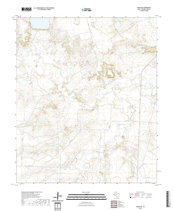
2022 Map of Hyman NE
USGS Topo · Published 2022About this map
Beals Mtn overlooks a landscape defined by an intricate network of intermittent waterways in this 2022 survey of Mitchell County. The terrain is carved by the winding paths of Beals Cr and Mustang Cr, reflecting a ranching environment where water management is central to the land's utility. Significant livestock watering points and small reservoirs like Meteor Tank, Vowell Tank, and Tom Neff Lake are scattered across the quadrangle, connected by a sparse grid of rural roads including Ranch Rd 2183. The convergence of Hackberry Cr, Forest Cr, and Dry Hollow Cr in the southern portion of the map illustrates the complex drainage patterns typical of this part of West Texas, where seasonal flow dictates the local geography.
Find a feature on this map
16 named features on this map. Tap any name to fly to it.
Don’t see what you’re looking for? This feature index may not catch every label — zoom into the map to look around manually.
Map Details
Editions of this 2022 Hyman NE Map
This is the sole edition of this map. No revisions or reprints were ever made.
Other maps of this area

1950 · Lake Colorado City
USGS Topo · 1:24,000

1951 · Iatan
USGS Topo · 1:24,000

1952 · Iatan
USGS Topo · 1:24,000

1952 · Westbrook
USGS Topo · 1:24,000

1954 · Big Spring
USGS Topo · 1:250,000

1958 · Big Spring
USGS Topo · 1:250,000

1959 · Spade Ranch
USGS Topo · 1:24,000

1959 · McWhorter Mountain
USGS Topo · 1:24,000

1962 · Hyman NE
USGS Topo · 1:24,000

1963 · Buffalo Draw
USGS Topo · 1:24,000