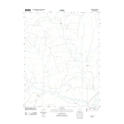
2012 Map of Hymer
USGS Topo · Published 2012About this map
The Cottonwood River and its intricate drainage network define this Chase County landscape, where the confluence of several named creeks reveals the natural topography of the Kansas Flint Hills. The settlement of Hymer sits at a focal point between Schaffer Cr and Diamond Cr, while further south, the Elmdale Cem provides a local genealogical landmark near the river's winding path. The map illustrates a rural economy organized around these waterways and the section-line roads that navigate them, such as Diamond Creek Rd. In the southwest corner, the Harold K Wells Airport and the small settlement of Rockland indicate more modern development amidst the longstanding prairie drainage systems of Middle Cr and Collett Cr. This map captures the area as it transitioned into the early 21st century, maintaining its agrarian character while clearly marking family-interest sites and local infrastructure.
Find a feature on this map
13 named features on this map. Tap any name to fly to it.
Don’t see what you’re looking for? This feature index may not catch every label — zoom into the map to look around manually.
Map Details
Editions of this 2012 Hymer Map
This is the sole edition of this map. No revisions or reprints were ever made.
Other maps of this area

1889 · Parkerville
USGS Topo · 1:125,000

1894 · Parkerville
USGS Topo · 1:125,000

1898 · Cottonwood Falls
USGS Topo · 1:125,000

1955 · Hutchinson
USGS Topo · 1:250,000

1957 · Elmdale
USGS Topo · 1:24,000

1957 · Strong City
USGS Topo · 1:24,000

1957 · Cedar Point
USGS Topo · 1:24,000

1957 · Hymer
USGS Topo · 1:24,000

1959 · Hutchinson
USGS Topo · 1:250,000

1970 · Lincolnville NE
USGS Topo · 1:24,000