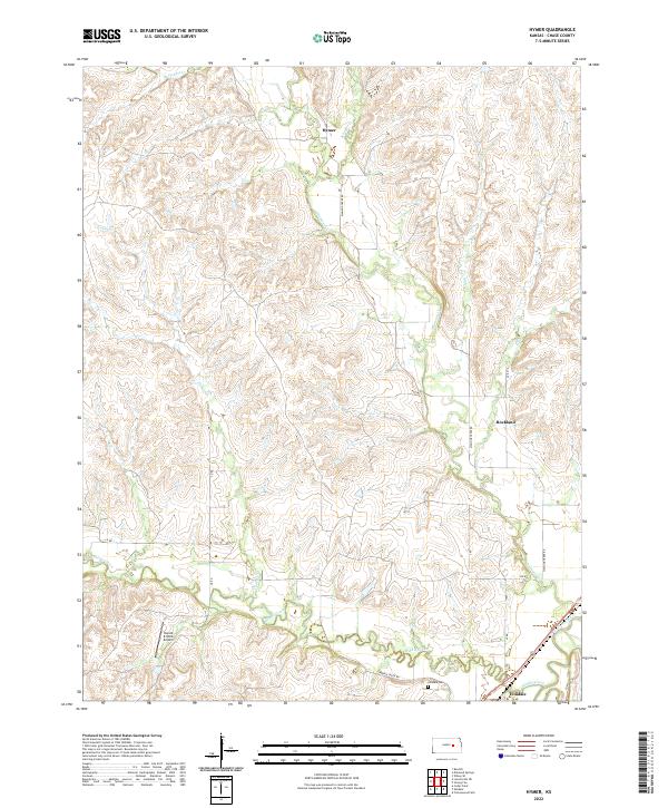
2022 Map of Hymer
USGS Topo · Published 2022About this map
The Cottonwood River and Middle Creek converge in the southern reaches of this Chase County landscape, defining the topography near the settlement of Elmdale. The terrain is characterized by a dense network of creek valleys, including Diamond Cr, Schaffer Cr, and Pickett Cr, which carve through the Flint Hills region. The small community of Hymer sits to the north, connected by a network of rural routes like Diamond Creek Rd and LP Rd.
Find a feature on this map
23 named features on this map. Tap any name to fly to it.
Don’t see what you’re looking for? This feature index may not catch every label — zoom into the map to look around manually.
Map Details
Editions of this 2022 Hymer Map
This is the sole edition of this map. No revisions or reprints were ever made.
Other maps of this area

1889 · Parkerville
USGS Topo · 1:125,000

1894 · Parkerville
USGS Topo · 1:125,000

1898 · Cottonwood Falls
USGS Topo · 1:125,000

1955 · Hutchinson
USGS Topo · 1:250,000

1957 · Elmdale
USGS Topo · 1:24,000

1957 · Strong City
USGS Topo · 1:24,000

1957 · Cedar Point
USGS Topo · 1:24,000

1957 · Hymer
USGS Topo · 1:24,000

1959 · Hutchinson
USGS Topo · 1:250,000

1970 · Lincolnville NE
USGS Topo · 1:24,000