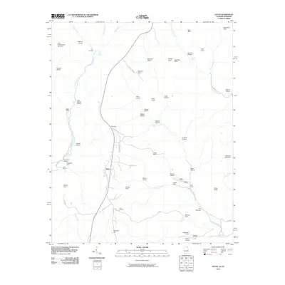
2010 Map of Hytop
USGS Topo · Published 2010About this map
Hytop and its surrounding plateau terrain define this 2010 survey of the Alabama-Tennessee borderlands. The landscape is characterized by a network of drainage systems and hollows, most notably the canyon-like Walls of Jericho in the north and the expansive Big Coon Creek valley to the south. The area's settlement history is preserved through numerous family and community burial grounds, such as Clark Cemetery, Haddon Cemetery, and Knight Cemetery, which are scattered among the ridges.
Find a feature on this map
70 named features on this map. Tap any name to fly to it.
Don’t see what you’re looking for? This feature index may not catch every label — zoom into the map to look around manually.
Map Details
Editions of this 2010 Hytop Map
This is the sole edition of this map. No revisions or reprints were ever made.
Other maps of this area

1886 · Stevenson
USGS Topo · 1:125,000

1888 · Scottsboro
USGS Topo · 1:125,000

1892 · Scottsboro
USGS Topo · 1:125,000

1892 · Stevenson
USGS Topo · 1:125,000

1895 · Stevenson
USGS Topo · 1:125,000

1895 · Sewanee
USGS Topo · 1:125,000

1928 · Decherd
USGS Topo · 1:62,500

1936 · Wannville
USGS Topo · 1:24,000

1936 · Sinking Cove
USGS Topo · 1:24,000

1936 · Beans Creek
USGS Topo · 1:24,000