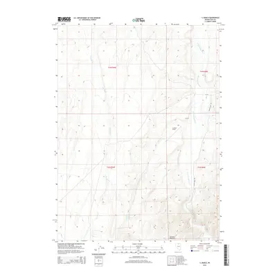
2014 Map of I L Ranch
USGS Topo · Published 2014About this map
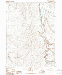
I L Ranch and its private I-L Ranch Airport occupy the high desert floor of Elko County, surrounded by the southern reaches of the Tuscarora Mountains. The landscape is defined by the drainage network of the S Fork Owyhee River, which flows through the eastern portion of the quadrangle. Several seasonal and perennial streams, including Fourmile Cr, Amazon Cr, and Red Cow Cr, carve through the complex topography of the mountains to the west. This 21st-century survey illustrates the enduring isolation of northern Nevada ranching life, where infrastructure is limited to essential connectors like Spanish Ranch Rd and CR-730, supporting remote agricultural operations far from established town sites.
Find a feature on this map
14 named features on this map. Tap any name to fly to it.
Don’t see what you’re looking for? This feature index may not catch every label — zoom into the map to look around manually.
Map Details
Editions of this 2014 I L Ranch Map
This is the sole edition of this map. No revisions or reprints were ever made.
Other maps of this area

1955 · McDermitt
USGS Topo · 1:250,000
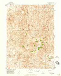
1956 · Mt. Blitzen
USGS Topo · 1:62,500

1959 · McDermitt
USGS Topo · 1:250,000
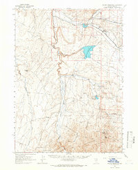
1964 · Wilson Reservoir
USGS Topo · 1:62,500
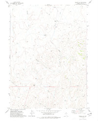
1974 · Soldier Cap
USGS Topo · 1:24,000
1974 · Middle Draw Reservoir
USGS Topo · 1:24,000
1974 · Desert Ranch
USGS Topo · 1:24,000
1982 · Bull Run Mts
USGS Topo · 1:100,000
1982 · Tuscarora
USGS Topo · 1:100,000
1987 · Fourmile Butte
USGS Topo · 1:24,000