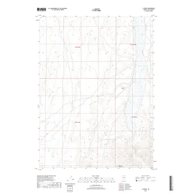
2018 Map of I L Ranch
USGS Topo · Published 2018About this map
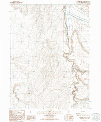
I L Ranch serves as the focal point for this high-desert territory in Elko County, where cattle operations and aviation intersect at the I-L Ranch Airport. The landscape is defined by the drainage systems of the S Fork Owyhee River, which winds through the eastern portion of the quadrangle. High country to the south belongs to the Tuscarora Mountains, a range that influences the hydrology of local tributaries including Fourmile Cr and Red Cow Cr. This survey illustrates the spatial organization of a modern working ranch, showing the relationship between water sources and the infrastructure required to manage large-scale grazing lands in Nevada's Great Basin province.
Find a feature on this map
10 named features on this map. Tap any name to fly to it.
Don’t see what you’re looking for? This feature index may not catch every label — zoom into the map to look around manually.
Map Details
Editions of this 2018 I L Ranch Map
This is the sole edition of this map. No revisions or reprints were ever made.
Other maps of this area

1955 · McDermitt
USGS Topo · 1:250,000
1956 · Mt. Blitzen
USGS Topo · 1:62,500

1959 · McDermitt
USGS Topo · 1:250,000
1964 · Wilson Reservoir
USGS Topo · 1:62,500
1974 · Soldier Cap
USGS Topo · 1:24,000
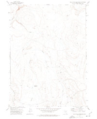
1974 · Middle Draw Reservoir
USGS Topo · 1:24,000
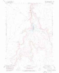
1974 · Desert Ranch
USGS Topo · 1:24,000
1982 · Bull Run Mts
USGS Topo · 1:100,000
1982 · Tuscarora
USGS Topo · 1:100,000
1987 · Fourmile Butte
USGS Topo · 1:24,000