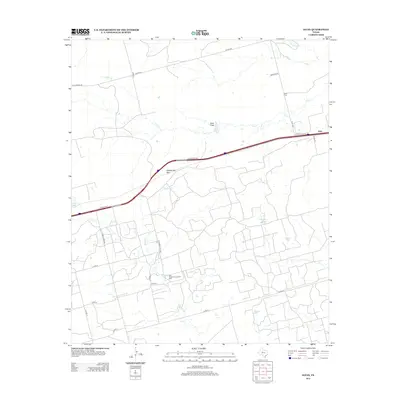
2012 Map of Iatan
USGS Topo · Published 2012About this map
The settlement of Iatan and its surrounding high plains landscape are defined by the convergence of industrial energy and transit infrastructure in Mitchell County. This 2012 survey shows the modern footprint of the East Howard County Oil Field, illustrating how petroleum extraction has shaped the local road network, including routes like E Howard Field Rd. The terrain is characterized by broad drainage systems and distinct landforms such as Iatan Flats and Rattlesnake Gap, where Interstate 20 cuts through the landscape.
Find a feature on this map
28 named features on this map. Tap any name to fly to it.
Don’t see what you’re looking for? This feature index may not catch every label — zoom into the map to look around manually.
Map Details
Editions of this 2012 Iatan Map
This is the sole edition of this map. No revisions or reprints were ever made.
Other maps of this area

1941 · Big Spring South
USGS Topo · 1:62,500

1942 · Big Spring South
USGS Topo · 1:62,500

1942 · Big Spring North
USGS Topo · 1:62,500

1951 · Vincent
USGS Topo · 1:24,000

1951 · Iatan
USGS Topo · 1:24,000

1952 · Iatan
USGS Topo · 1:24,000

1952 · Cuthbert
USGS Topo · 1:24,000

1952 · Westbrook
USGS Topo · 1:24,000

1954 · Big Spring
USGS Topo · 1:250,000

1954 · Big Spring North NE
USGS Topo · 1:24,000