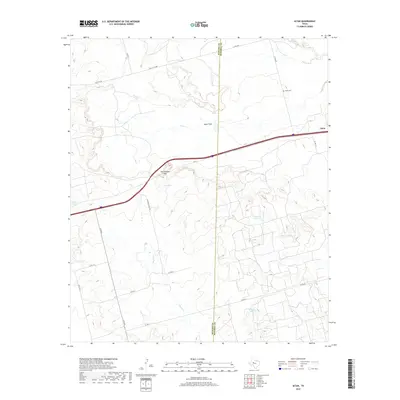
2019 Map of Iatan
USGS Topo · Published 2019About this map
Iatan stands as a focal point along the Interstate 20 corridor where Mitchell and Howard counties meet in West Texas. This modern survey illustrates a landscape of arid plains and intermittent water courses, characterized by the expansive Iatan Flats and the prominent Rattlesnake Gap to the west. The local importance of water management is evident through numerous named collection points such as California Tank, Willow Tank, and Watson Tank, which dot the terrain surrounding drainage systems like Dugout Cr and Iatan Cr. For genealogists and local historians, the Iatan Cem near the northern boundary provides a critical link to the area's early ranching and farming families. The road network preserves historical transit routes through labels like Old C City Hwy and Old City Rd, while Iatan Lake serves as a significant hydrologic feature in this high plains environment.
Find a feature on this map
26 named features on this map. Tap any name to fly to it.
Don’t see what you’re looking for? This feature index may not catch every label — zoom into the map to look around manually.
Map Details
Editions of this 2019 Iatan Map
This is the sole edition of this map. No revisions or reprints were ever made.
Other maps of this area
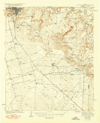
1941 · Big Spring South
USGS Topo · 1:62,500
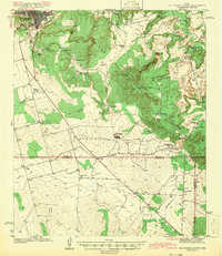
1942 · Big Spring South
USGS Topo · 1:62,500
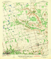
1942 · Big Spring North
USGS Topo · 1:62,500
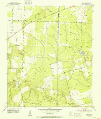
1951 · Vincent
USGS Topo · 1:24,000
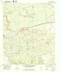
1951 · Iatan
USGS Topo · 1:24,000
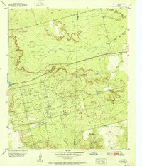
1952 · Iatan
USGS Topo · 1:24,000
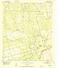
1952 · Cuthbert
USGS Topo · 1:24,000
1952 · Westbrook
USGS Topo · 1:24,000

1954 · Big Spring
USGS Topo · 1:250,000
1954 · Big Spring North NE
USGS Topo · 1:24,000