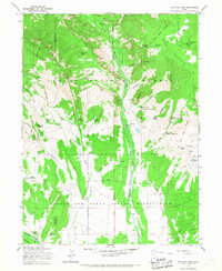
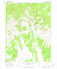
1965 Map of Ice Cave Peak
USGS Topo · Published 1967About this map
The Uintah and Ouray Indian Reservation meets the high elevations of the Ashley National Forest in this 1960s study of the Uintah Basin's northern fringe. The landscape is defined by deep drainage systems like the Whiterocks River and Farm Creek that flow southward from the high peaks of Buck Ridge. Local history is preserved in small, isolated markers such as Reeds Cem and the Elkhorn Guard Station, reflecting the area's history of forest management and early ranching.
Find a feature on this map
51 named features on this map. Tap any name to fly to it.
Don’t see what you’re looking for? This feature index may not catch every label — zoom into the map to look around manually.
Map Details
Editions of this 1965 Ice Cave Peak Map
2 editions found
Other maps of this area

1885 · Ashley
USGS Topo · 1:250,000

1885 · Uinta
USGS Topo · 1:250,000

1905 · Gilbert Peak
USGS Topo · 1:125,000

1906 · Gilbert Peak
USGS Topo · 1:125,000

1906 · Marsh Peak
USGS Topo · 1:125,000

1908 · Marsh Peak
USGS Topo · 1:125,000
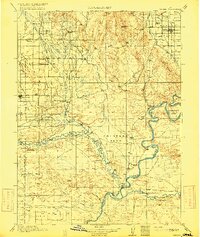
1917 · Vernal
USGS Topo · 1:125,000
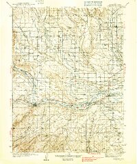
1939 · Duchesne
USGS Topo · 1:125,000

1954 · Salt Lake City
USGS Topo · 1:250,000

1954 · Vernal
USGS Topo · 1:250,000