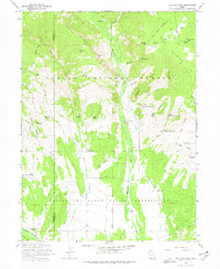
1965 Map of Ice Cave Peak
USGS Topo · Published 1978About this map
Ashley National Forest and the northern reaches of the Uintah and Ouray Indian Reservation meet in this high-elevation landscape mapped during the mid-1960s. The terrain is defined by dramatic elevation changes between Mosby Mountain and the deep cut of the Whiterocks River. This area is dense with evidence of early administrative and natural resource management, featuring the Elkhorn Guard Station, a Gaging Station, and the remote Loggers Cabin Park. Water sources are the primary landmarks here, with numerous named springs such as Snake John Spring, Lees Bench Spring, and Cart Hollow Spring supporting local activity. The presence of the Old Indian Treaty Boundary and the Uintah Special Meridian provides a look at the historical surveying and jurisdictional lines that governed the Uinta Basin's development and tribal lands.
Find a feature on this map
57 named features on this map. Tap any name to fly to it.
Don’t see what you’re looking for? This feature index may not catch every label — zoom into the map to look around manually.
Map Details
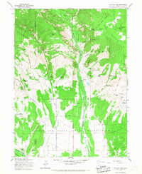
Editions of this 1965 Ice Cave Peak Map
2 editions found
Other maps of this area

1885 · Ashley
USGS Topo · 1:250,000

1885 · Uinta
USGS Topo · 1:250,000

1905 · Gilbert Peak
USGS Topo · 1:125,000

1906 · Gilbert Peak
USGS Topo · 1:125,000

1906 · Marsh Peak
USGS Topo · 1:125,000

1908 · Marsh Peak
USGS Topo · 1:125,000

1917 · Vernal
USGS Topo · 1:125,000

1939 · Duchesne
USGS Topo · 1:125,000

1954 · Salt Lake City
USGS Topo · 1:250,000

1954 · Vernal
USGS Topo · 1:250,000