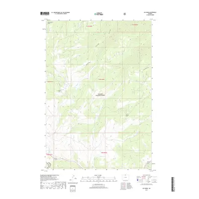
2017 Map of Ice Creek
USGS Topo · Published 2017About this map
Bighorn National Forest defines the character of this 2017 study, covering a landscape of high divides and deep drainages along the border of Sheridan and Big Horn Counties. The terrain is marked by the Lake Creek Divide and open meadows such as Bull Elk Park, which punctuate the dense forest cover. A complex network of watercourses, including Ice Creek, N Tongue River, and Bear-Trap Cr, has carved significant geographic features like Dayton Gulch and Garland Gulch. To the northwest, the land drops away into the Little Bighorn Valley. This map provides a precise view of the hydrology and topography of the high country before it descends into the surrounding basins, capturing the placement of modern forest service roads and wilderness boundaries.
Find a feature on this map
22 named features on this map. Tap any name to fly to it.
Don’t see what you’re looking for? This feature index may not catch every label — zoom into the map to look around manually.
Map Details
Editions of this 2017 Ice Creek Map
This is the sole edition of this map. No revisions or reprints were ever made.
Other maps of this area
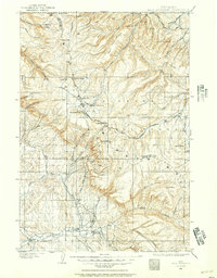
1898 · Bald Mountain
USGS Topo · 1:125,000
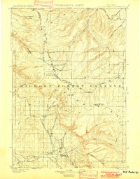
1901 · Bald Mountain
USGS Topo · 1:125,000

1955 · Sheridan
USGS Topo · 1:250,000

1958 · Sheridan
USGS Topo · 1:250,000
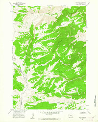
1960 · Boyd Ridge
USGS Topo · 1:24,000
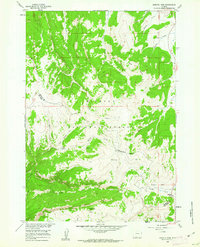
1960 · Granite Pass
USGS Topo · 1:24,000
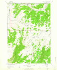
1960 · Hidden Tepee Creek
USGS Topo · 1:24,000
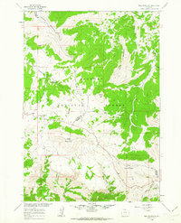
1960 · Bald Mountain
USGS Topo · 1:24,000
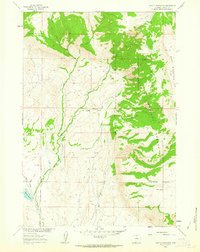
1960 · Leavitt Reservoir
USGS Topo · 1:24,000

1962 · Sheridan
USGS Topo · 1:250,000