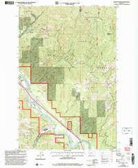
1999 Map of Idaho Gulch
USGS Topo · Published 2003About this map
Clark Fork defines the western valley of this landscape, where the Superior Oliverville Rd connects the settlement of Oliverville to the surrounding timberlands of the Lolo National Forest. The topography is dominated by the steep drainages of the Ninemile Divide, with numerous gulches such as Idaho Gulch, Welch Gulch, and Shyrock Gulch feeding into the river system. This late-20th-century update reveals a landscape balanced between resource extraction and transportation infrastructure, evidenced by the Gravel Pits and the presence of a County Airport complete with an Airway Beacon positioned near the river's bend.
Find a feature on this map
31 named features on this map. Tap any name to fly to it.
Don’t see what you’re looking for? This feature index may not catch every label — zoom into the map to look around manually.
Map Details
Editions of this 1999 Idaho Gulch Map
This is the sole edition of this map. No revisions or reprints were ever made.
Other maps of this area

1956 · Wallace
USGS Topo · 1:250,000

1959 · Tarkio
USGS Topo · 1:62,500

1959 · Perma
USGS Topo · 1:62,500

1959 · Plains
USGS Topo · 1:62,500

1960 · Wallace
USGS Topo · 1:250,000

1960 · Superior
USGS Topo · 1:62,500

1983 · Horsehead Peak
USGS Topo · 1:24,000
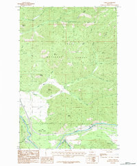
1983 · Tarkio
USGS Topo · 1:24,000
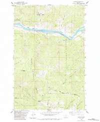
1984 · Knowles
USGS Topo · 1:24,000
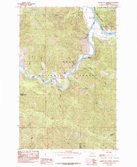
1985 · Quinns Hot Springs
USGS Topo · 1:24,000