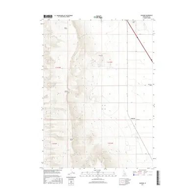
2017 Map of Idahome
USGS Topo · Published 2017About this map
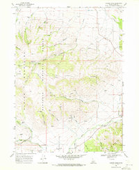
The Cotterel Mountains dominate the western portion of this quadrangle, creating a high-relief boundary against the flat expanse of the Raft River Valley to the east. This 2017 survey documents the small settlement of Idahome situated along Idahome Rd at the intersection of several section-line roads like 800 S. The landscape transitions from the steep, drainage-carved slopes of Guinn Canyon and Harroun Canyon to the irrigated agricultural plots of the valley floor.
Find a feature on this map
21 named features on this map. Tap any name to fly to it.
Don’t see what you’re looking for? This feature index may not catch every label — zoom into the map to look around manually.
Map Details
Editions of this 2017 Idahome Map
This is the sole edition of this map. No revisions or reprints were ever made.
Other maps of this area

1954 · Pocatello
USGS Topo · 1:250,000

1958 · Pocatello
USGS Topo · 1:250,000
1959 · Lake Walcott
USGS Topo · 1:62,500
1964 · Rupert SE
USGS Topo · 1:24,000
1968 · Malta NE
USGS Topo · 1:24,000
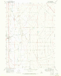
1968 · Malta
USGS Topo · 1:24,000
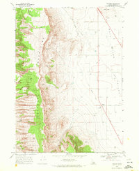
1968 · Idahome
USGS Topo · 1:24,000
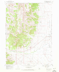
1968 · Nibbs Creek
USGS Topo · 1:24,000
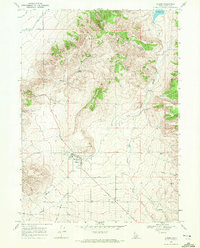
1968 · Albion
USGS Topo · 1:24,000
1968 · Connor Ridge
USGS Topo · 1:24,000