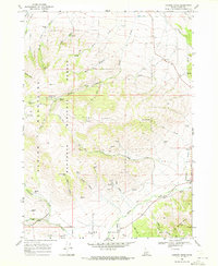
1968 Map of Connor Ridge
USGS Topo · Published 1972About this map
The Sawtooth National Forest dominates this Idaho landscape, where the Albion Mountains and Jim Sage Mts create a complex system of high ridges and deep drainages. In the late 1960s, this area of Cassia County was characterized by its network of mountain springs, such as Howell Creek Spring and Sibley Spring, which fed the creeks cutting through canyons like Broad Canyon and Howell Canyon. The presence of the Melcher Mine and several Gravel Pits points to the area's mineral and resource activity.
Find a feature on this map
46 named features on this map. Tap any name to fly to it.
Don’t see what you’re looking for? This feature index may not catch every label — zoom into the map to look around manually.
Map Details
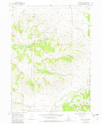
Editions of this 1968 Connor Ridge Map
2 editions found
Other maps of this area

1954 · Pocatello
USGS Topo · 1:250,000

1958 · Pocatello
USGS Topo · 1:250,000

1964 · View
USGS Topo · 1:24,000

1968 · Cache Peak
USGS Topo · 1:24,000

1968 · Idahome
USGS Topo · 1:24,000

1968 · Elba
USGS Topo · 1:24,000

1968 · Kane Canyon
USGS Topo · 1:24,000

1968 · Mount Harrison
USGS Topo · 1:24,000

1968 · Nibbs Creek
USGS Topo · 1:24,000

1968 · Albion
USGS Topo · 1:24,000