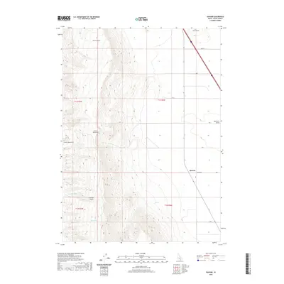
2020 Map of Idahome
USGS Topo · Published 2020About this map
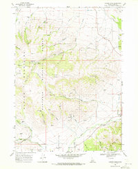
Idahome sits at the transition between the high peaks of the Cotterel Mountains and the agricultural expanse of the Raft River Valley in southern Idaho. This modern survey illustrates the rugged high-desert topography where steep drainage features like Guinn Canyon and Harroun Canyon descend toward the valley floor. Water sources are scarce but critical in this arid landscape, marked by local features such as Potter Spring, Parke Spring, and the intermittent course of Coe Cr. The map details a rectilinear road grid that defines the local ranching and farming economy, including routes such as Idahome Rd and 800 S. To the north, Horse Butte provides a prominent landmark overlooking the valley, anchoring the northern edge of the mountain range where it meets the open plains of Cassia County.
Find a feature on this map
21 named features on this map. Tap any name to fly to it.
Don’t see what you’re looking for? This feature index may not catch every label — zoom into the map to look around manually.
Map Details
Editions of this 2020 Idahome Map
This is the sole edition of this map. No revisions or reprints were ever made.
Other maps of this area

1954 · Pocatello
USGS Topo · 1:250,000

1958 · Pocatello
USGS Topo · 1:250,000
1959 · Lake Walcott
USGS Topo · 1:62,500
1964 · Rupert SE
USGS Topo · 1:24,000
1968 · Malta NE
USGS Topo · 1:24,000
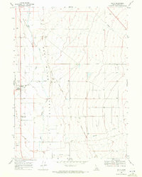
1968 · Malta
USGS Topo · 1:24,000
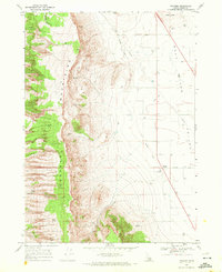
1968 · Idahome
USGS Topo · 1:24,000
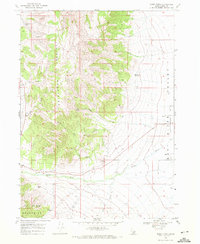
1968 · Nibbs Creek
USGS Topo · 1:24,000
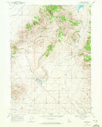
1968 · Albion
USGS Topo · 1:24,000
1968 · Connor Ridge
USGS Topo · 1:24,000