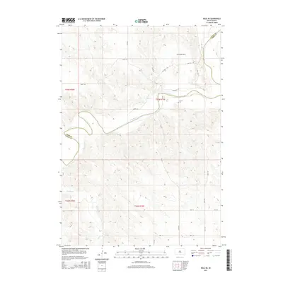
2015 Map of Ideal NE
USGS Topo · Published 2015About this map
The White River winds through this South Dakota landscape, defining the northern border between Lyman and Tripp counties. This 2015 study provides a clear view of the rural section-line road network, including the aptly named Hades Rd and the historical path of Wagon Rd. The terrain is marked by significant topographical shifts, most notably at Horseshoe Bend and near Red Hill, where a lone Cem sits above the river valley. Numerous drainages such as Davis Cr and Thunder Cr cut through the high plains, illustrating the natural watercourses that have shaped the development of these ranching and farming lands over many decades.
Find a feature on this map
25 named features on this map. Tap any name to fly to it.
Don’t see what you’re looking for? This feature index may not catch every label — zoom into the map to look around manually.
Map Details
Editions of this 2015 Ideal NE Map
This is the sole edition of this map. No revisions or reprints were ever made.
Other maps of this area
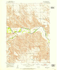
1951 · Ideal NW
USGS Topo · 1:24,000
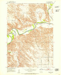
1951 · Ideal NE
USGS Topo · 1:24,000
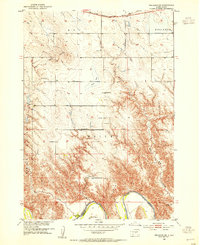
1952 · Reliance SW
USGS Topo · 1:24,000
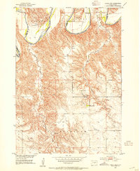
1952 · Hamill NW
USGS Topo · 1:24,000
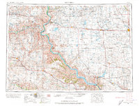
1955 · Mitchell
USGS Topo · 1:250,000
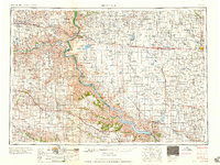
1959 · Mitchell
USGS Topo · 1:250,000
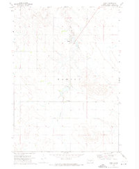
1971 · Hamill
USGS Topo · 1:24,000
1978 · Kennebec SW
USGS Topo · 1:24,000
1978 · Kennebec SE
USGS Topo · 1:24,000
1982 · King Dam
USGS Topo · 1:25,000