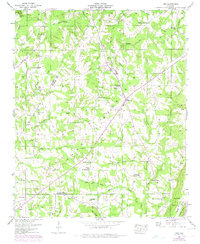
1946 Map of Ider
USGS Topo · Published 1975About this map
Ider sits atop the high plateau of Sand Mountain, serving as a hub for the agricultural community of DeKalb County in the mid-1940s. The landscape is defined by its numerous crossroads settlements like Skaggs Corner and Beaty Crossroads, which reflect a period before modern highway consolidation. Water power and local industry are evidenced by Yorks Mill on Boydston Creek and the Old Blevins Mill along the northern reaches of Blevins Creek.
Find a feature on this map
53 named features on this map. Tap any name to fly to it.
Don’t see what you’re looking for? This feature index may not catch every label — zoom into the map to look around manually.
Map Details
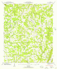
Editions of this 1946 Ider Map
2 editions found
Other maps of this area

1886 · Stevenson
USGS Topo · 1:125,000

1892 · Stevenson
USGS Topo · 1:125,000

1895 · Stevenson
USGS Topo · 1:125,000

1936 · Trenton
USGS Topo · 1:24,000

1936 · Ider
USGS Topo · 1:24,000

1936 · Flat Rock
USGS Topo · 1:24,000

1936 · Dugout Valley
USGS Topo · 1:24,000

1936 · Sulphur Springs
USGS Topo · 1:24,000

1936 · Sylvania
USGS Topo · 1:24,000

1936 · Stevenson
USGS Topo · 1:24,000