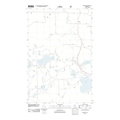
2011 Map of Idington
USGS Topo · Published 2011About this map
Idington serves as the primary settlement on this Saint Louis County landscape, situated where the Rice River and local county roads converge. The area is defined by a dense network of glacial lakes and wetlands, including Sand Lake, Lake Fourteen, and Lake Leander, which dominate the western and southern reaches. Local infrastructure is geared toward both recreation and forestry, evidenced by the Wolfridge Golf Course in the north and the Birch Knob Lookout Tower positioned for fire observation in the east.
Find a feature on this map
33 named features on this map. Tap any name to fly to it.
Don’t see what you’re looking for? This feature index may not catch every label — zoom into the map to look around manually.
Map Details
Editions of this 2011 Idington Map
This is the sole edition of this map. No revisions or reprints were ever made.
Other maps of this area

1951 · Virginia
USGS Topo · 1:24,000

1951 · Kinney
USGS Topo · 1:24,000

1951 · Britt
USGS Topo · 1:24,000

1952 · Idington
USGS Topo · 1:24,000

1954 · Hibbing
USGS Topo · 1:250,000

1955 · Dark Lake
USGS Topo · 1:24,000

1955 · Dewey Lake SE
USGS Topo · 1:24,000

1957 · Hibbing
USGS Topo · 1:250,000

1958 · Hibbing
USGS Topo · 1:250,000

1964 · Hibbing
USGS Topo · 1:250,000