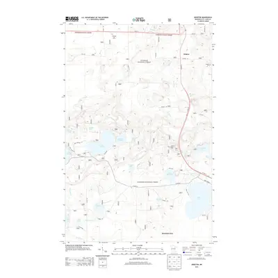
2013 Map of Idington
USGS Topo · Published 2013About this map
The Superior National Forest dominates this northern Minnesota landscape, where the settlement of Idington and the northern edge of Mountain Iron sit amidst a complex network of glacial lakes and rivers. The hydrology is particularly dense, featuring the Rice River, Watercress Creek, and numerous named basins like Sand Lake, Moose Lake, and Lake Fourteen. This map documents a transitional zone where recreational and conservation lands meet local infrastructure. Evidence of early settlement and rural life is preserved in labels for the Idington Cemetery and the Birch Knob Lookout Tower, while modern land use is represented by the Wolfbridge Golf Course. The layout of roads like County Highway 65 and Us HWY 53 illustrates how transportation corridors have been carved through the dense lake country of Saint Louis County.
Find a feature on this map
46 named features on this map. Tap any name to fly to it.
Don’t see what you’re looking for? This feature index may not catch every label — zoom into the map to look around manually.
Map Details
Editions of this 2013 Idington Map
This is the sole edition of this map. No revisions or reprints were ever made.
Other maps of this area
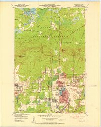
1951 · Virginia
USGS Topo · 1:24,000
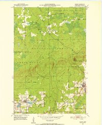
1951 · Kinney
USGS Topo · 1:24,000
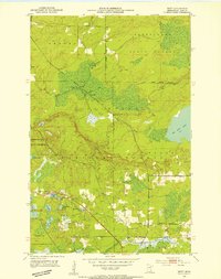
1951 · Britt
USGS Topo · 1:24,000
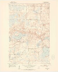
1952 · Idington
USGS Topo · 1:24,000

1954 · Hibbing
USGS Topo · 1:250,000
1955 · Dark Lake
USGS Topo · 1:24,000
1955 · Dewey Lake SE
USGS Topo · 1:24,000

1957 · Hibbing
USGS Topo · 1:250,000

1958 · Hibbing
USGS Topo · 1:250,000

1964 · Hibbing
USGS Topo · 1:250,000