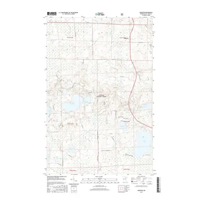
2016 Map of Idington
USGS Topo · Published 2016About this map
Idington and its surrounding wetlands occupy this portion of the Iron Range, where the Rice River and Dark River carve through a landscape heavily defined by glacial lakes. This 2016 survey shows the eastern reaches of the Superior National Forest, characterized by an extensive network of forestry spurs and recreation trails, including the Laurentian Snowmobile route. The area remains sparsely settled, with the Idington Cem serving as a primary genealogical landmark near the northern boundary. Numerous water bodies such as Sand Lake, Lake Fourteen, and Moose Lake dominate the terrain, connected by a web of service roads like Graham Road and Osborn Road. The intricate labeling of small creeks like Watercress Cr and Johnson Cr illustrates the complex drainage patterns typical of this northern Minnesota timber and recreation country.
Find a feature on this map
61 named features on this map. Tap any name to fly to it.
Don’t see what you’re looking for? This feature index may not catch every label — zoom into the map to look around manually.
Map Details
Editions of this 2016 Idington Map
This is the sole edition of this map. No revisions or reprints were ever made.
Other maps of this area
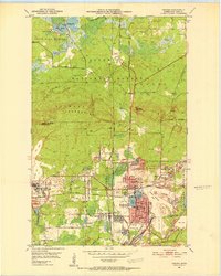
1951 · Virginia
USGS Topo · 1:24,000
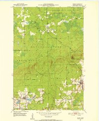
1951 · Kinney
USGS Topo · 1:24,000
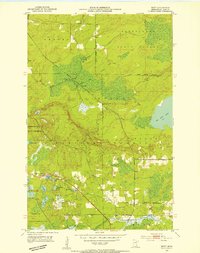
1951 · Britt
USGS Topo · 1:24,000
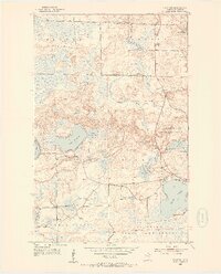
1952 · Idington
USGS Topo · 1:24,000

1954 · Hibbing
USGS Topo · 1:250,000
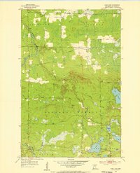
1955 · Dark Lake
USGS Topo · 1:24,000
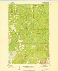
1955 · Dewey Lake SE
USGS Topo · 1:24,000

1957 · Hibbing
USGS Topo · 1:250,000

1958 · Hibbing
USGS Topo · 1:250,000

1964 · Hibbing
USGS Topo · 1:250,000