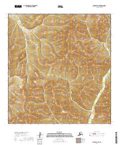
2019 Map of Iditarod A-4 NW
USGS Topo · Published 2019About this map
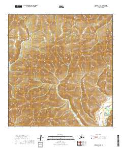
N Fork George River carves through this interior Alaska landscape, defining the drainage patterns of the Iditarod region. The terrain is characterized by prominent elevations such as Porphyry Hill and Lookout Mtn, which rise above the complex network of stream valleys. These waterways, including Donlin Cr and Little Eldorado Cr, reflect the tributary systems that have long influenced movement and prospecting in the Yukon-Koyukuk Census Area. The layout of the land across sections of T25N and T24N shows a wilderness shaped by its geology, with these named peaks and creeks serving as the primary landmarks for navigation and land claims in the remote territory.
Find a feature on this map
10 named features on this map. Tap any name to fly to it.
Don’t see what you’re looking for? This feature index may not catch every label — zoom into the map to look around manually.
Map Details
Editions of this 2019 Iditarod A-4 NW Map
This is the sole edition of this map. No revisions or reprints were ever made.
Other maps of this area

1951 · Iditarod
USGS Topo · 1:250,000

1954 · Iditarod A-5
USGS Topo · 1:63,360

1954 · Iditarod A-4
USGS Topo · 1:63,360

1954 · Iditarod B-5
USGS Topo · 1:63,360

1954 · Iditarod B-4
USGS Topo · 1:63,360

1956 · Iditarod
USGS Topo · 1:250,000
2019 · Iditarod B-4 SE
USGS Topo · 1:25,000
2019 · Iditarod B-4 SW
USGS Topo · 1:25,000
2019 · Iditarod A-4 SE
USGS Topo · 1:25,000
2019 · Iditarod A-4 NE
USGS Topo · 1:25,000