
1954 Map of Iditarod B-5
USGS Topo · Published 1964About this map
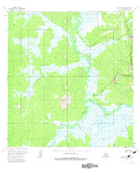
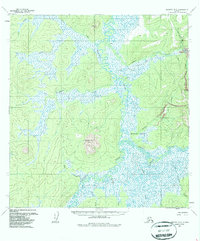
The Iditarod River meanders through a landscape defined by the mining and transportation networks of mid-century interior Alaska. This 1954 data reveals the critical infrastructure supporting the district, including a Tramway (Aband) near the settlement of Flat and several Winter Trails that provided seasonal access across the marshy Bonanza Flats. The geography is anchored by Swinging Dome, rising above the complex drainage systems of Fairbanks Creek and Otter Creek. Gold-era remnants are visible throughout the quadrangle, notably at a Placer Mine near Happy Creek and a Cem located just outside the main townsite. Small clusters of Cabins and isolated cabin sites along Willow Creek suggest the dispersed nature of habitation during this period, where local travel relied on the intricate web of waterways and trails that connected these remote outposts.
Find a feature on this map
24 named features on this map. Tap any name to fly to it.
Don’t see what you’re looking for? This feature index may not catch every label — zoom into the map to look around manually.
Map Details
Editions of this 1954 Iditarod B-5 Map
3 editions found
Other maps of this area

1951 · Iditarod
USGS Topo · 1:250,000

1954 · Iditarod A-6
USGS Topo · 1:63,360

1954 · Iditarod A-5
USGS Topo · 1:63,360

1954 · Iditarod C-4
USGS Topo · 1:63,360

1954 · Iditarod A-4
USGS Topo · 1:63,360

1954 · Iditarod C-5
USGS Topo · 1:63,360
1954 · Iditarod C-6
USGS Topo · 1:63,360

1954 · Iditarod B-4
USGS Topo · 1:63,360
1954 · Iditarod B-6
USGS Topo · 1:63,360

1956 · Iditarod
USGS Topo · 1:250,000