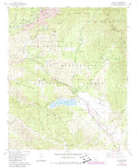
1981 Map of Idyllwild
USGS Topo · Published 1988About this map
Idyllwild and Fern Valley serve as the primary mountain retreats in this 1980s look at the San Jacinto Mountains. The landscape is defined by its educational and recreational institutions, including the Univ So Calif Idyllwild campus and the Desert Sun Sch, alongside numerous organization camps like Camp Emerson and Camp Maranatha. The settlement pattern follows the drainages of Strawberry Creek and Lily Creek, while the 74 Palms to Pines Highway connects these mountain communities to the desert and valley below.
Find a feature on this map
73 named features on this map. Tap any name to fly to it.
Don’t see what you’re looking for? This feature index may not catch every label — zoom into the map to look around manually.
Map Details
Editions of this 1981 Idyllwild Map
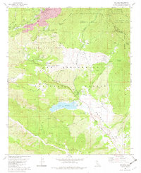
2 editions found
Other maps of this area

1901 · Southern California Sheet No. 1
USGS Topo · 1:250,000

1901 · San Jacinto
USGS Topo · 1:125,000

1904 · Southern California Sheet No. 1
USGS Topo · 1:250,000

1940 · Palm Springs
USGS Topo · 1:62,500

1940 · Hemet Reservoir
USGS Topo · 1:62,500

1942 · Banning
USGS Topo · 1:62,500

1942 · Hemet Reservoir
USGS Topo · 1:62,500

1942 · Hemet
USGS Topo · 1:62,500

1943 · Hemet
USGS Topo · 1:62,500

1943 · Banning
USGS Topo · 1:62,500
Featured Places
- Idyllwild, Idyllwild-Pine Cove
- Mountain Center, CA
- Idyllwild-Pine Cove, CA
- Riverside County, CA
- United States