
1908 Map of Ignacio
USGS Topo · Published 1908About this map
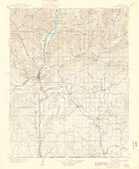
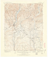
Durango serves as the central hub of this 1908 topographical survey, situated at the junction of the Animas River and several critical rail lines. The Denver & Rio Grande RR and Rio Grande Southern RR traverse the river valleys, connecting industrial sites like Porter and Carbon Junc. To the east, the Ute Indian Agency is located near Ignacio, marking a significant cultural and administrative boundary of the South Boundary Ute Ceded Land.
Find a feature on this map
121 named features on this map. Tap any name to fly to it.
Don’t see what you’re looking for? This feature index may not catch every label — zoom into the map to look around manually.
Map Details
Editions of this 1908 Ignacio Map
3 editions found
Other maps of this area

1889 · Largo
USGS Topo · 1:250,000

1889 · Chaco
USGS Topo · 1:250,000

1892 · Chaco
USGS Topo · 1:250,000

1895 · Largo
USGS Topo · 1:250,000

1895 · La Plata
USGS Topo · 1:62,500

1897 · La Plata
USGS Topo · 1:62,500

1897 · Rico
USGS Topo · 1:62,500

1898 · Durango
USGS Topo · 1:62,500

1898 · Engineer Mountain
USGS Topo · 1:62,500

1898 · Rico
USGS Topo · 1:62,500