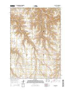
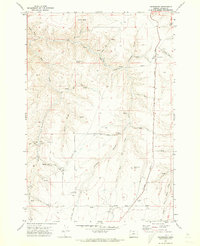
2014 Map of Igo Butte
USGS Topo · Published 2014About this map
Igo Butte rises above the landscape of north-central Oregon, anchoring a region of Gilliam County defined by deep drainages and rural routes. The landscape is characterized by its dramatic verticality, from the high elevation of the butte down to the depths of Tenmile Canyon and Lamberson Canyon. The historical footprint of this remote area is preserved in the location of Igo Cem, situated off Alville Ln. This 2014 survey documents the modern road network that still traces these ancient geological formations, including Ferry Canyon Rd and the primary north-south artery Or-206. The presence of Hay Cr in the northern canyons highlights the drainage patterns that have historically supported agricultural and ranching efforts in this part of the state.
Find a feature on this map
15 named features on this map. Tap any name to fly to it.
Don’t see what you’re looking for? This feature index may not catch every label — zoom into the map to look around manually.
Map Details
Editions of this 2014 Igo Butte Map
This is the sole edition of this map. No revisions or reprints were ever made.
Other maps of this area
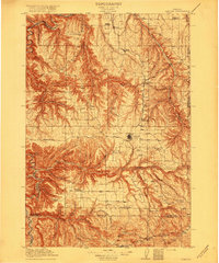
1916 · Condon
USGS Topo · 1:125,000

1953 · The Dalles
USGS Topo · 1:250,000

1956 · The Dalles
USGS Topo · 1:250,000
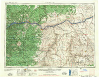
1957 · The Dalles
USGS Topo · 1:250,000
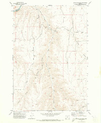
1970 · Devils Backbone
USGS Topo · 1:24,000
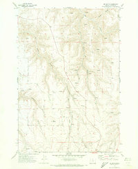
1970 · Igo Butte
USGS Topo · 1:24,000
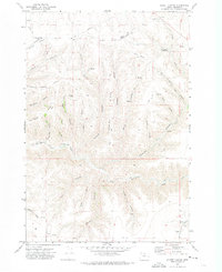
1970 · Schott Canyon
USGS Topo · 1:24,000
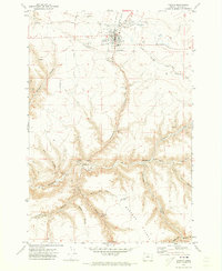
1970 · Condon
USGS Topo · 1:24,000
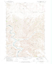
1970 · Shoestring Ridge
USGS Topo · 1:24,000
1970 · Gwendolen
USGS Topo · 1:24,000