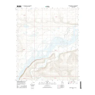
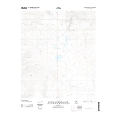
2016 Map of Ikpikpuk River A-1 NE
USGS Topo · Published 2016About this map
Colville River meanders across this Arctic landscape, creating a complex network of braids and islands that dominate the central terrain. The water's path is constrained to the south by the significant rise of Ninuluk Bluff, a prominent topographic feature that overlooks the river valley. Flowing from the south and cutting through the upland terrain, Ninuluk Creek joins the larger river system near the base of the bluffs. This 2016 survey provides a precise look at the hydrology of the North Slope, where the drainage patterns of these major waterways define the accessibility and character of the region. The map captures the shifting nature of these glacial and snowmelt-fed streams before they reach the higher latitudes of the Alaskan wilderness.
Find a feature on this map
9 named features on this map. Tap any name to fly to it.
Don’t see what you’re looking for? This feature index may not catch every label — zoom into the map to look around manually.
Map Details
Editions of this 2016 Ikpikpuk River A-1 NE Map
This is the sole edition of this map. No revisions or reprints were ever made.
Other maps of this area

1951 · Ikpikpuk River
USGS Topo · 1:250,000
1952 · Umiat
USGS Topo · 1:250,000
1955 · Umiat A-5
USGS Topo · 1:63,360
1955 · Umiat B-5
USGS Topo · 1:63,360

1956 · Ikpikpuk River
USGS Topo · 1:250,000
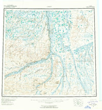
1956 · Umiat
USGS Topo · 1:250,000
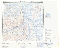
1964 · Umiat
USGS Topo · 1:250,000
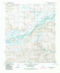
1984 · Ikpikpuk River A-1
USGS Topo · 1:63,360
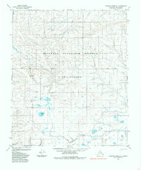
1985 · Ikpikpuk River B-1
USGS Topo · 1:63,360
2013 · Ikpikpuk River B-1 SW
USGS Topo · 1:25,000