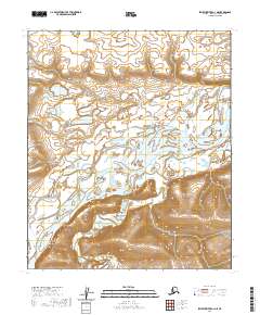
2020 Map of Ikpikpuk River A-1 NE
USGS Topo · Published 2020About this map
Colville River dominates this Arctic landscape, its wide channel cutting through the North Slope terrain. The river is flanked by the prominent Ninuluk Bluff, which rises above the surrounding lowlands to the south. Along with the meandering course of Ninuluk Creek, these natural features define the drainage patterns of this remote northern borough. This 2020 topographic record reflects the hydrology and elevation data gathered between 1899 and 2019, documenting the persistent but changing face of the Alaskan tundra and its massive river systems. The map captures the scale of the region's wilderness, where few man-made structures exist and the land is instead marked by traditional land survey boundaries such as t3s r6w and t3s r5w.
Find a feature on this map
9 named features on this map. Tap any name to fly to it.
Don’t see what you’re looking for? This feature index may not catch every label — zoom into the map to look around manually.
Map Details
Editions of this 2020 Ikpikpuk River A-1 NE Map
This is the sole edition of this map. No revisions or reprints were ever made.
Other maps of this area

1951 · Ikpikpuk River
USGS Topo · 1:250,000

1952 · Umiat
USGS Topo · 1:250,000

1955 · Umiat A-5
USGS Topo · 1:63,360

1955 · Umiat B-5
USGS Topo · 1:63,360

1956 · Ikpikpuk River
USGS Topo · 1:250,000

1956 · Umiat
USGS Topo · 1:250,000

1964 · Umiat
USGS Topo · 1:250,000
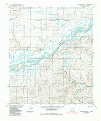
1984 · Ikpikpuk River A-1
USGS Topo · 1:63,360
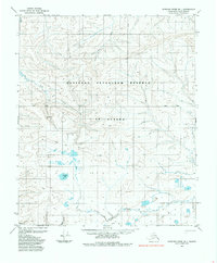
1985 · Ikpikpuk River B-1
USGS Topo · 1:63,360
2013 · Ikpikpuk River B-1 SW
USGS Topo · 1:25,000