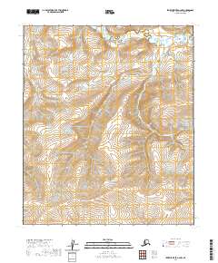
2020 Map of Ikpikpuk River A-2 NW
USGS Topo · Published 2020About this map
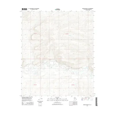
Maybe Creek winds through the northern portion of this Arctic landscape, part of the remote interior of the North Slope. The terrain is defined by the drainage patterns of Weasel Cr, which meanders across several townships including t3s r9w and t2s r8w. This 2020 topographic study illustrates the intricate hydrology of the region, where numerous unnamed seasonal drainages and subtle elevation changes characterize the permafrost-underlain tundra. The absence of permanent settlements or infrastructure highlights the isolation of this territory within the National Petroleum Reserve in Alaska, serving primarily as a reference for environmental monitoring and traditional land use in the high Arctic.
Find a feature on this map
11 named features on this map. Tap any name to fly to it.
Don’t see what you’re looking for? This feature index may not catch every label — zoom into the map to look around manually.
Map Details
Editions of this 2020 Ikpikpuk River A-2 NW Map
This is the sole edition of this map. No revisions or reprints were ever made.
Other maps of this area

1951 · Ikpikpuk River
USGS Topo · 1:250,000

1956 · Ikpikpuk River
USGS Topo · 1:250,000

1984 · Ikpikpuk River A-3
USGS Topo · 1:63,360

1984 · Ikpikpuk River A-2
USGS Topo · 1:63,360

1985 · Ikpikpuk River B-3
USGS Topo · 1:63,360
1985 · Ikpikpuk River B-2
USGS Topo · 1:63,360
2013 · Ikpikpuk River B-2 SE
USGS Topo · 1:25,000
2016 · Ikpikpuk River A-2 SW
USGS Topo · 1:25,000
2016 · Ikpikpuk River B-3 SE
USGS Topo · 1:25,000
2016 · Ikpikpuk River B-2 SW
USGS Topo · 1:25,000