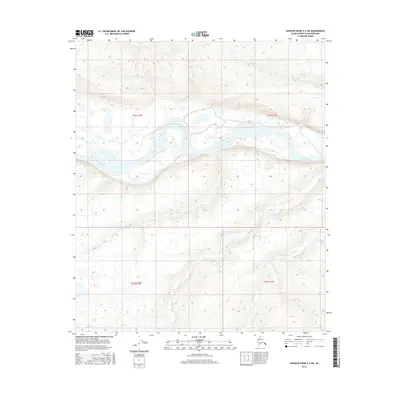
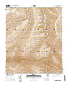
2016 Map of Ikpikpuk River A-3 SW
USGS Topo · Published 2016About this map
Colville River dominates this Arctic landscape, its meandering channel and braided islands cutting through the North Slope south of the Beaufort Sea. The river forms a massive horizontal ribbon across the terrain, accompanied by the southern drainage of Aupuk Cr which winds through the lower quadrants. This 2016 survey illustrates a largely uninhabited expanse defined by the Public Land Survey System grids of t4s r12w, t4s r11w, t5s r12w, and t5s r11w. The topographical detail highlights the low-lying relief and complex wetland hydrology characteristic of the region, providing a precise record of the shoreline and riverbank geometry before seasonal changes shift the gravel bars and alluvial deposits.
Find a feature on this map
6 named features on this map. Tap any name to fly to it.
Don’t see what you’re looking for? This feature index may not catch every label — zoom into the map to look around manually.
Map Details
Editions of this 2016 Ikpikpuk River A-3 SW Map
This is the sole edition of this map. No revisions or reprints were ever made.
Other maps of this area

1951 · Ikpikpuk River
USGS Topo · 1:250,000
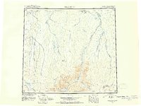
1951 · Killik River
USGS Topo · 1:250,000
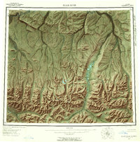
1956 · Killik River
USGS Topo · 1:250,000

1956 · Ikpikpuk River
USGS Topo · 1:250,000
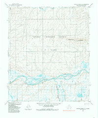
1984 · Ikpikpuk River A-4
USGS Topo · 1:63,360
1984 · Ikpikpuk River A-3
USGS Topo · 1:63,360
1986 · Killik River D-4
USGS Topo · 1:63,360
1986 · Killik River D-3
USGS Topo · 1:63,360
2016 · Killik River D-4 NE
USGS Topo · 1:25,000
2016 · Killik River D-3 NW
USGS Topo · 1:25,000